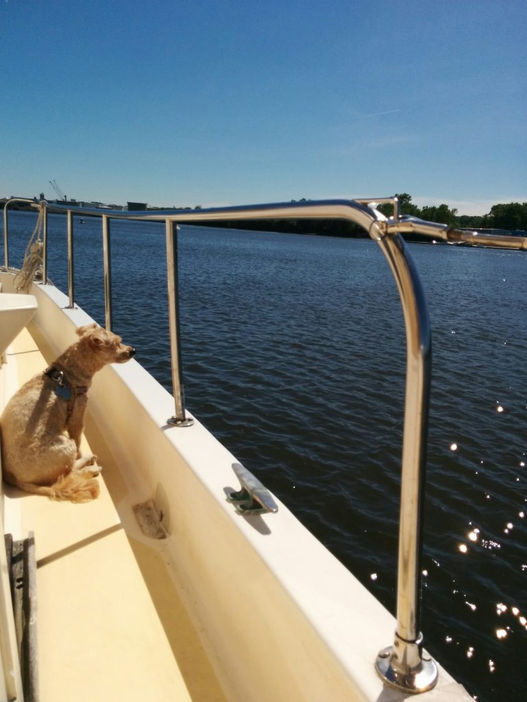
Through the Champlain Canal

Sunday, June 12th

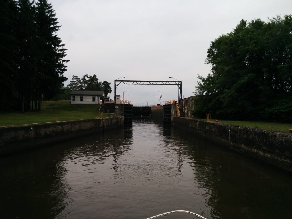
Lock 5 opened at 9:00 AM. We were the only ones through. We made it all the way to the end of the Champlain Canal, lock 12. We never saw another boat underway, and the lock tenders all said we were the only ones they had seen that day.

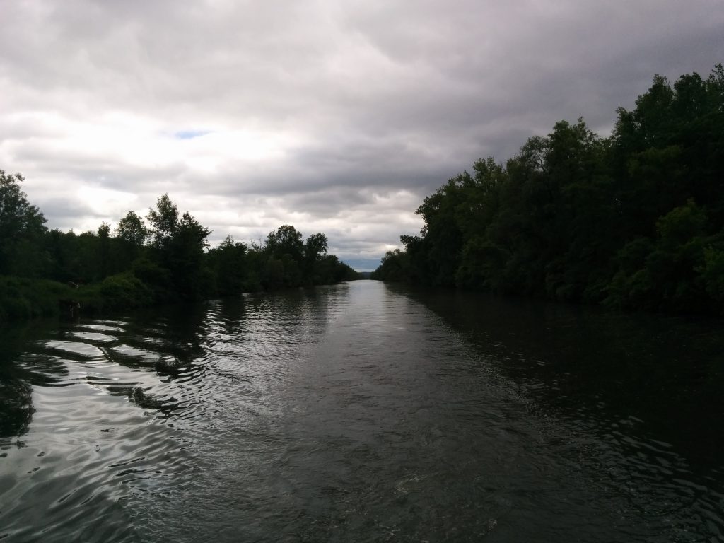
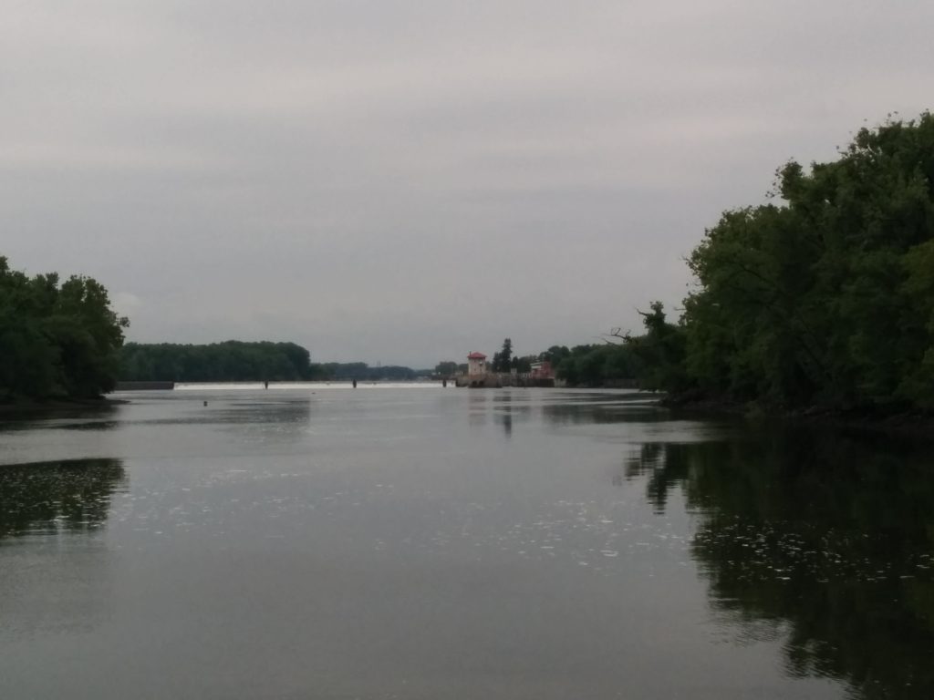
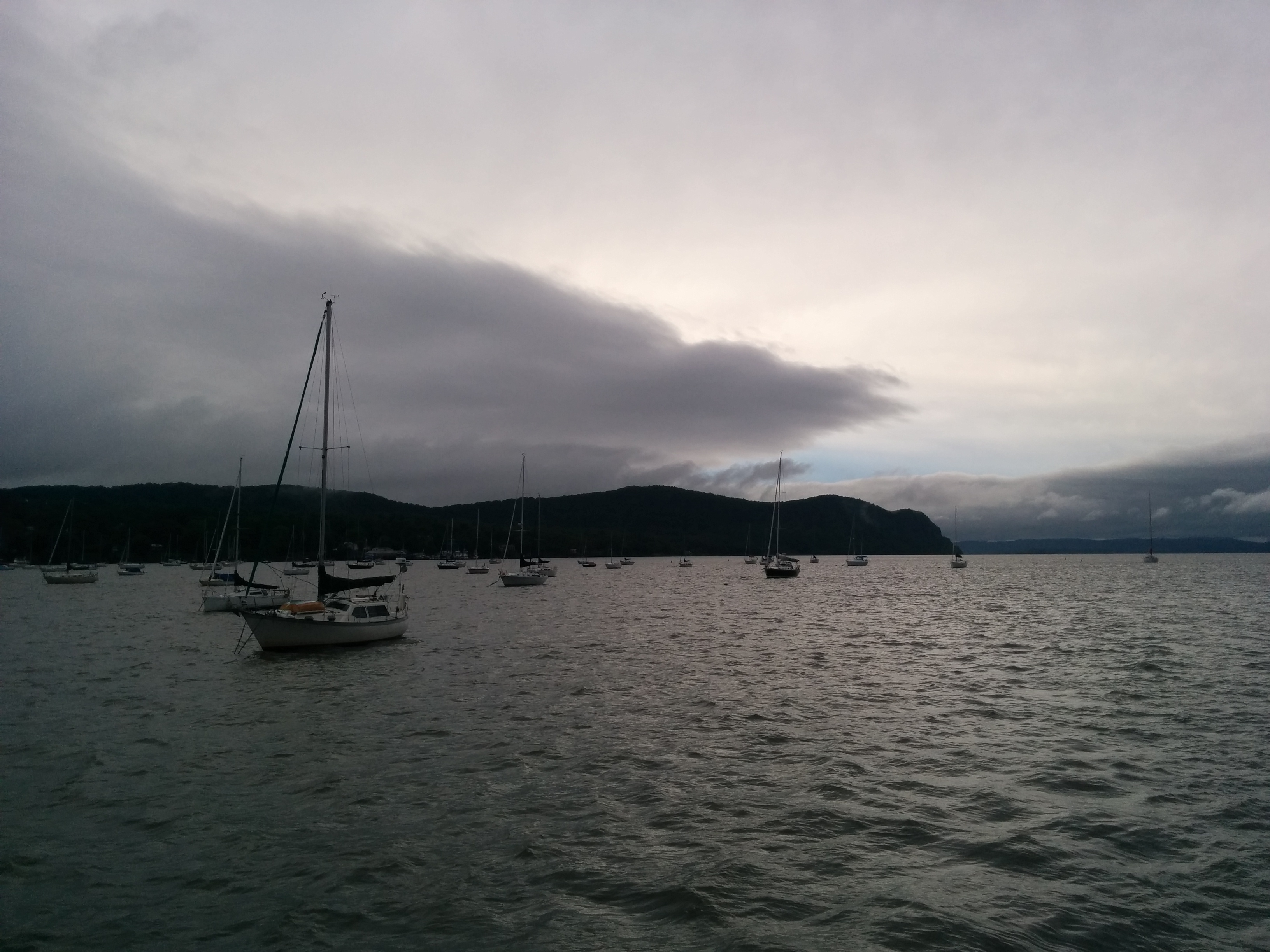
Much of the Canal actually follows the natural channels of the Hudson. The naturally shallow sections are dealt with by dams that impound a “pool” of water behind them. The lock brings the boat up (or down) to the level of the next pool, allowing continuous travel by boat.

There are also sections where the canal splits away from the natural river bed to follow a man-made land cut. This happens more and more as we move farther up the Hudson, which eventually veers off and leaves the rest of the canal as essentially one long land cut. Since the land cut is especially sensitive to erosion, there are strict “no wake” speed limits in these sections. It makes for a long day.

Champlain Canal Land Cut

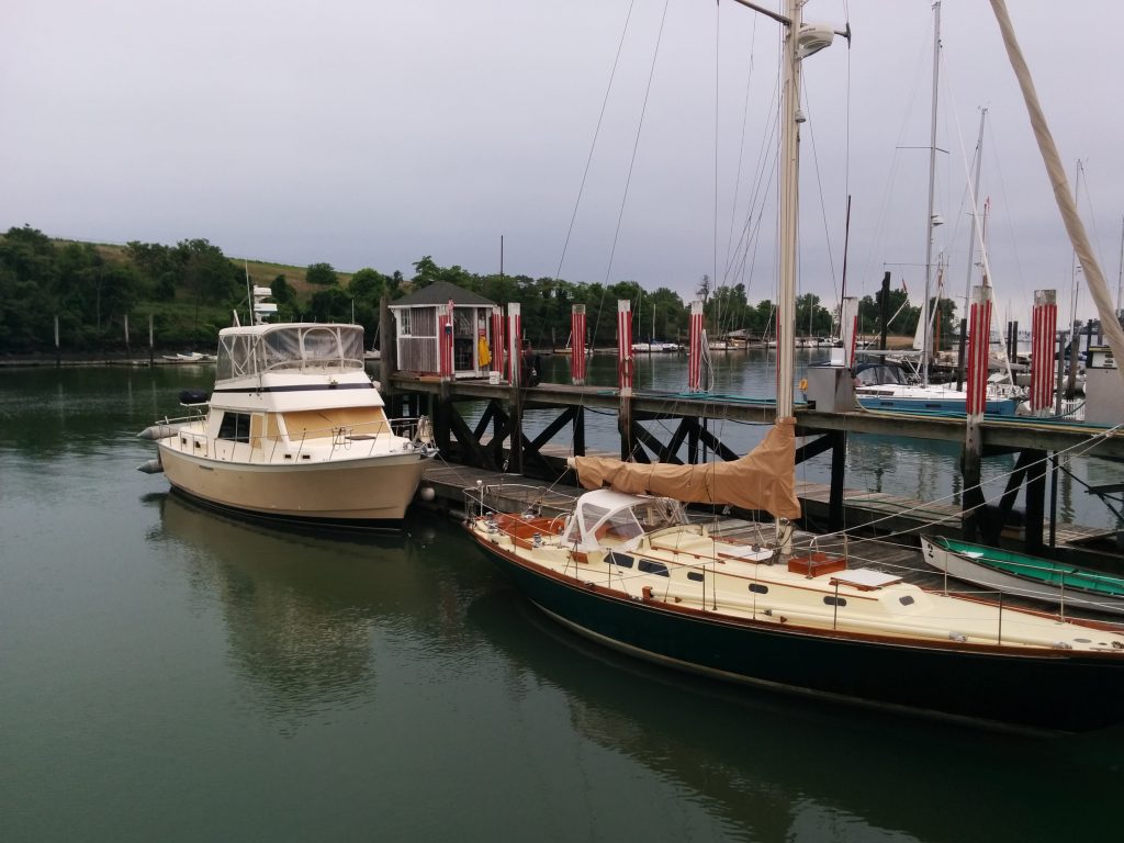
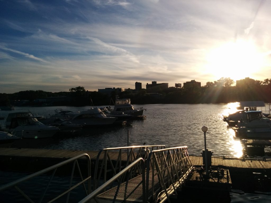
Just before the last lock, the town of Whitehall maintains a terminal wall for transient boaters, complete with water and power. Of course, we were the only ones there.

Whitehall Dock

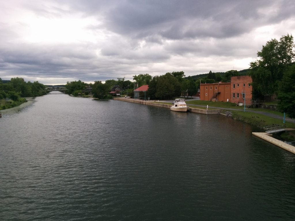
Whitehall is famous for… OK, nothing really. They did have a couple of faux-reality TV shows come through last year to record shows about the Sasquatch a local alledgedly saw here years ago. There’s a wooden carved Sasquatch here in the park.

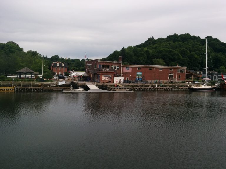
Like so many towns in this part of the state, Whitehall is in a post-industrial transition. Fabulous old architecture, some restored and some decaying, is everywhere. History permeates everything. In some ways, it’s like going back in time. We’d love to be able to spend more time exploring.

Today’s milestone was passing 43 degrees, 05 minutes North latitude, which is the latitude we started at. From here on in, we’re North of our home port.

  • Miles travelled: 487.6
  • Engine Hours: 77.5

Canals and Locks

Saturday, June 11th

Today we took aboard two new crew. We waited for a strong thunderstorm to pass through before getting underway for our first lock, the federal lock in Troy, NY.

The Troy lock is on the federally-managed navigable section of the Hudson river. Beyond that, the remaining locks on the Erie and Champlain canals are owned and run by the State of New York.

First view of the Troy lock

Even with the late start, we made it through locks 1 through 5 on the Champlain Canal

Entering a lock

One option when travelling the Canal is to stay overnight on the approach wall of the lock. These are the “waiting areas” where boats would tie up to wait their turn through the lock, or if they arrived off-hours, to wait for the lock to open in the morning. All day, we were the only boat we saw on the Canal. One lock tender said two other boats had gone through in the morning, before the storms.

Presumably things will get busier as the season progresses and (hopefully) the weather improves.

  • Miles travelled: 457.1
  • Engine Hours: 70.5

Albany, NY

Friday, June 10th

About the only place in the Albany area for transient boaters is the Albany Yacht Club, which is actually across the river in Rensselear.

Albany

This is a very friendly and down-to-earth club. As it turned out, Friday night dinner at the club this week was grilled lobster tail. For $12.50 each we couldn’t turn that down. And with $3 drinks at the bar, well…

Cygnus at AYC

The club has had a large number of “Loopers” passing through this week, on their way along the Great Loop. We haven’t heard of any other Downeast Loopers though.

The Great Loopers will be turning left soon, on their way up the Waterford Flight and along the Erie Canal. Here at the club we were able to purchase our permit for the Champlain Canal, and pick up some more information about that section of the trip.

The wind, while still stiff, was more Westerly when we tied up on the West face of the outside dock at AYC. It was nice to get a little help from the wind this time, after days of fighting it.

  • Miles travelled: 424.5
  • Engine Hours: 64

Day at Anchor

Thursday, June 9th

If you’re following our track, you’ll see that we haven’t moved since yesterday. So what do you do on a boat that’s been anchored for over 24 hours? There’s always something. Cleaning, waxing, cooking, fixing things, upgrading things, checking equipment, routine maintenance. And there’s always some time for just sitting around watching the birds and trains go by, or the fish jump.
At anchor
One common question all cruising boaters get is “what do you do for electricity?” Almost all the routine “house” loads run on 12VDC, just like your car. Lights, water pumps, refrigerator and all the navigation gear. We also have an 2000 Watt inverter that converts 12VDC to 120VAC, or house current. With that, we can plug in things like the microwave, coffee maker, vacuum cleaner, electric drill, even a hair drier.

All this power comes from four, 230 Amp-hour, 6V golf cart batteries. With normal usage, those can keep us going for over 24 hours without plugging in or running the generator. And if we run the main engines for more than a couple hours of traveling during the day, the batteries are already charged (by the engine alternator) and the water heater full of hot water (via waste heat from the starboard engine) when we arrive anyway.

For big loads, like the electric water heater, range and oven, we have a 7,500 Watt diesel generator. When the generator is running or when we’re plugged into shore power, all our 120VAC loads run off that, including the battery charger.

We find if we’re away from shore power, and not running the main engines much, we just need to run the generator for an hour or two a day to keep the batteries topped off and the water tank hot. If we do this while we’re preparing meals, we can use the range and oven, too.

For cooking, we can also use our electric pressure cooker and bread maker. These can run off the inverter, either from the batteries when we’re stopped, or directly from the engine alternator while underway.

All of our lighting is high-efficiency LED, and modern appliances like the refrigerator are more efficient than older ones, so the boat actually uses significantly less electricity than when it was built.

It’s becoming more common to see larger battery banks on boats, connected to ever-larger solar panel arrays. With this arrangement, a boat like ours would almost never need to run a generator.

After two days of blowing 15+ to as much as 40 knots, the wind has finally let up, at least for a while. The sky is clear and it should be a good night for star-gazing.
Moon Rising

Tomorrow we’ll be heading for Albany (or actually, Rensselear, NY, across the river.)

Another Anchorage

Wednesday, June 8th

We left Rondout Creek in fine weather, with our water tanks full and our waste tanks empty. We should be good for a while before needing marina services. The Hudson River Maritime Museum was a good stop, and they’re improving the services for boaters to include bathrooms, showers and laundry facilities in the future. Our spot had been just behind the dark-hulled sailboat:

Hudson River Maritime Museum Dock

We hit rain shortly after starting back up the Hudson, and it rained heavily for the rest of the morning. We’ve been seeing a number of boats flying the burgee (flag) of the America’s Great Loop Cruising Association, and spoken with a couple of them. They’re doing the “other” loop, turning left at the Erie Canal while we continue North.

We’ve also been noticing that Cygnus isn’t the only bird flying North along the river. We’ve seen several flocks of what look to be Canadian geese:

Birds Flying

Tonight we’re holed up in what passes for a sheltered anchorage in this part of the river; behind Houghtailing Island. This should be a little better than the main channel of the river, since the forecast for the next two days is for strong, gusty winds.

We’re only about 20 miles from Albany here, and even with a little backtracking to get back to the main channel, we should make it there within a few hours. So at this point, there seems little reason to get underway tomorrow. The thought now is to leave here Friday.

  • Miles travelled: 408.9 (one-fifth of the loop completed!)
  • Engine Hours: 61.4

Train Noise? What Train Noise?

Tuesday, June 7th.

We use a combination of on-line and printed guides to find marinas, mooring fields and anchorages along the way. The best offer unbiased reviews by other boaters. Sometimes “unbiased” can be closer to “clueless.” It can be downright comical, albeit frustrating, to read what some people write for reviews. But one common thread along the Hudson is train noise. Some actually complain about it, but most reviewers merely mention it in passing, and typically include something along the lines of “but that doesn’t really bother us.”

Both sides of this stretch of the river have active railroad lines running just along the shore, not too far above the water. It makes sense that this natural, nearly level path through the surrounding hills and small mountains would be where you’d want to put the railroad tracks.

And these tracks are heavily used. Commuter and longer-range passenger trains come by several times an hour on the East side of the river. On the West side, freight trains seem to rule, some 50 cars long, some appear twice that long.
Freight Train

And train whistles carry a long way over the water!

Frankly, if you can’t enjoy the sound of a train whistle, you probably shouldn’t be here.

Today was a great travel day. Winds weren’t bad, and we’re still able to catch some tidal current going our way for part of the day.
Mid-Hudson bridge

We made the half-way point between Haverstraw and Albany today; Kingston, NY. We’re at the Hudson River Maritime Museum, surrounded by lots of old work boats and barges, some being renovated and some slowly rotting away near the mouth of Rondout Creek. Dockage here includes admission to the museum, and we got to spend some time going through the displays. You could spend a lifetime exploring just the history of the Hudson River.

  • Miles travelled: 371.3
  • Engine Hours: 55.2

Slowing Down

Monday, June 6th.

Until now, we’ve more or less tried to put a respectable number of miles under our keel every day. With just over 100 nautical miles to go in 5 days before a scheduled rendezvous with friends, we’re throttling down a little.

Sunday brought thunderstorms to most of the Northeast, and although the Nyack area missed several, one healthy band passed through late Sunday afternoon. While relatively unprotected on a wide part of the Hudson, our mooring held fast and, as usual, Cygnus took it in stride. The sky after the storm indicated a rapid change was in store.
After the storm

We woke this morning to the sound of small feet pattering along the deck. Looking out the screened window of our cabin at the area enclosed by our small back deck with the dinghy lashed to the transom, this was the sight that greeted us:
Stow-away

A stow-away female Mallard! But just one? Surely the male must be around somewhere…
Male Mallard

After cleaning up after our uninvited guests, and sharing some home-made bread with them, we headed out for a short jog about 8 nautical miles up the river to an anchorage we’d heard about. The hope was to finally get out of the wind enough to try the new grill we’d bought for the trip. It didn’t look good as we headed upriver, as yesterday’s active weather system was still working its way through.

We passed the infamous Sing-Sing prison and Haverstraw Bay, just down river from the Indian Point nuclear power plant. Haverstraw Bay is a popular anchorage, well protected from the main current of the river, but unfortunately wide open to North winds.

In Haverstraw Cove, off the West side of the river, we found good holding and good protection from the wind. We grilled vegetables and hot dogs for lunch:
Lunch

This little cove looks like it’s man-made. I suspect it was created for the outflow of cooling water from the power plant just to the Northwest. The spit of land that forms the Northeast edge of the cove, Bowline Point, is home to a municipal park run by the town of Haverstraw.

So today has been a day of catching up on small chores, paperwork, etc. Tomorrow maybe we’ll try to get about halfway to Albany. If we feel like it.

  • Miles travelled: 323.4
  • Engine Hours: 48.2

Tides and Currents

Saturday, June 4th

Tides are the movement of water up or down. The rising tide is called the flood tide. The lowering tide is the ebb tide. The regularity of the tides allows us to plan our travel around them.

When the water rises higher at one location, for example, the mouth of a bay or river, it flows to lower areas, into the bay or up the river. This sets up a tidal current which reverses with the ebb and flood of the tide.

Currrent tables can be used to look up when the flood and ebb currents will occur.

But you have to know which way is ebb and which is flood.

On a river which flows from inland toward the sea, like the Hudson, it’s easy. Flood is upriver, ebb is downriver.

However, it turns out the East River in NY floods AWAY from the Hudson, toward Long Island sound. The direction is actually listed in the current tables, if you remember to check them, instead of just assuming.

What’s all this leading up to? We hit Hell Gate in exactly the opposite state of current as I had expected. Instead of being wisked along at an extra four to six knots, we had to fight that extra current the whole length of the East River. Oops.

Current in Hell Gate

To add to the fun, low clouds and mist hid the taller buildings of the Manhattan skyline, and quite a few heavy rain squalls spoiled our views past the Pallisades. At times it was like some of our Maine travels; near-zero visibility. But here there are also other boats to contend with; everything from small sailing school dinghies to fast ferries and heavy cargo ships.

In between squalls we did get a few breaks that allowed us to fuel up in Jersey City and get a a few glimpses of New York and the Statue of Liberty.
The Battery
Statue of Liberty

Fortunately, my current predictions were better for the Hudson, and we rode the last of the flood as far as the Tappan Zee Bridge. We passed slowly (to avoid throwing a wake) through the construction zone where the new bridge is being built. Just beyond the work barges for that project is the town of Nyack, where we’re guests of the Nyack Boat Club.

Here’s a stock photo (not mine!) of a typical buoy of the type above, without current pulling it under.
Buoy with no current 
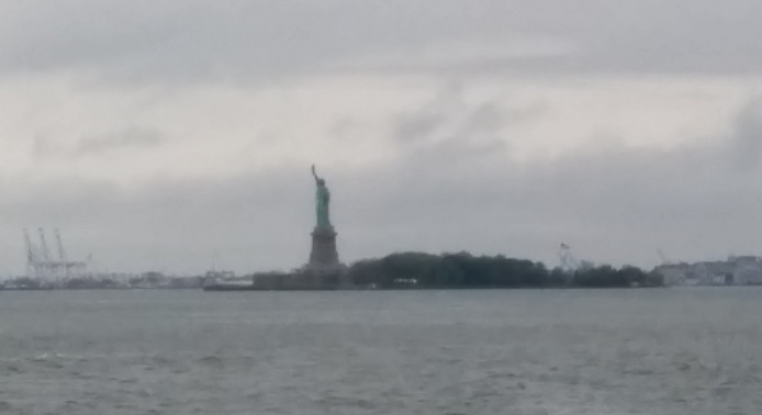
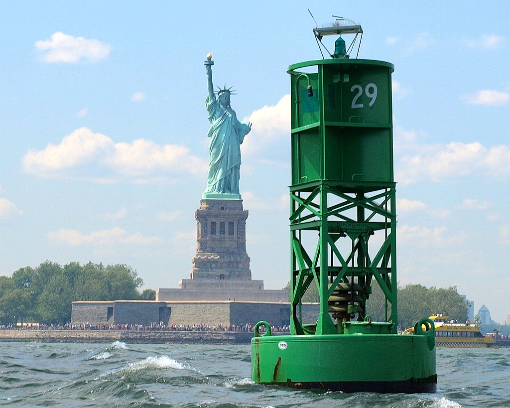
The photographer also picked a better day than we did to pass the Statue.

  • Miles travelled: 314.7
  • Engine Hours: 46.8

The Far end of Long Island Sound

Saturday, June 4th

Today the Western end of Long Island Sound was in sight. We could see New York’s Throg’s Neck bridge through the haze as we turned down the channel into Manhasset Bay.
Western Long Island Sound

As predicted, the winds on the Sound were less than 5 knots out of the SW all day, and we rode a fair current of about 1 knot most of the morning, making for an easy travel day.

We passed a minor milestone today, crossing the 41 degree latitude line. The farthest South, as well as the farthest West, we expect to be on this trip is off Battery Park, at 40°41.869′ North latitude and 74°01.267′ West longitude. For reference, the 43 degree latitude line passes through Rye, NH. 90 degrees is the North Pole.

From yesterday, remember that each minute of latitude is one nautical mile. There are 60 minutes in a degree. That means we’re more than 120 nautical miles south of Rye. For most of the past few days we’ve been travelling more West than South.

The town of Port Washington on Manhasset Bay maintains 20 guest moorings, only a few of which were occupied when we arrived. More filled up as the afternoon wore on, but there are still plenty. This will position us well for tomorrow.
Port Washington Moorings

The plan is to ride the early morning incoming (“flood”) tide through Hell Gate and as far up the Hudson as we can before the current turns against us in the late morning. Weather permitting, this stretch also offers some convenient fuel stops with (relatively) more reasonable prices.

  • Miles travelled: 267.6
  • Engine Hours: 39

Bridgeport, CT

Friday, June 3rd

Friday was much calmer on the Sound. For about half the day, we had a fair (favorable) current of about 1 knot helping to push us along.

Sometime around 11:15 AM the trip odometer passed 200 Nautical Miles, or about one-tenth of the total trip.

A nautical mile, about 6,076 feet, is about 1.15 times longer than the statute mile used ashore. This isn’t arbitrary. A nautical mile is also exactly equal to one minute of latitude, making it easy to work with on nautical charts. As we leave the ocean, and ocean navigation practices, we’ll be seeing more references to statute miles. But aboard Cygnus, the standard is the nautical mile.

Friday night we stayed at a marina in Bridgeport, CT called Captain’s Cove Seaport. It’s been described as “funky” and “kitchy,” both of which seem appropriate.
Bar at Captain's Cove

It’s a marina/restaurant/bar/tourist trap/fishing port set along a beautiful back channel (Black Rock Channel) away from the main harbor of Bridgeport. Across the channel is a high green spit of land with a utility-scale solar farm almost visible on top, and shoreside of Captain’s Cove is an industrial area. Of interest to us was the Shop & Save supermarket a little over a half-mile away. We got to try out the rolling cart we brought, and stocked up on supplies, including a few things we’d forgotten to pack.
Docked at Captain's Cove

Saturday is forecast to be another relatively calm day, with stormy weather expected Sunday through Tuesday for coastal waters. Fortunately, we hope to be heading inland, away from coastal waters by then. The plan is to finish the last leg through Long Island Sound and be in a good position to take on Hell Gate (part of the East River) on Sunday. The East River connects to the Hudson at Battery Park, the Southern tip of Manhattan, after which we turn North.

For the record, Hell Gate is a corruption of the Dutch phrase Hellegat, which could mean either “bright strait” or “clear opening.” The name stuck, because the currents in this stretch, even after 70 years of blasting out rocks, can be a challenge.

  • Miles travelled: 223.1
  • Engine Hours: 34.3