Thursday, June 23
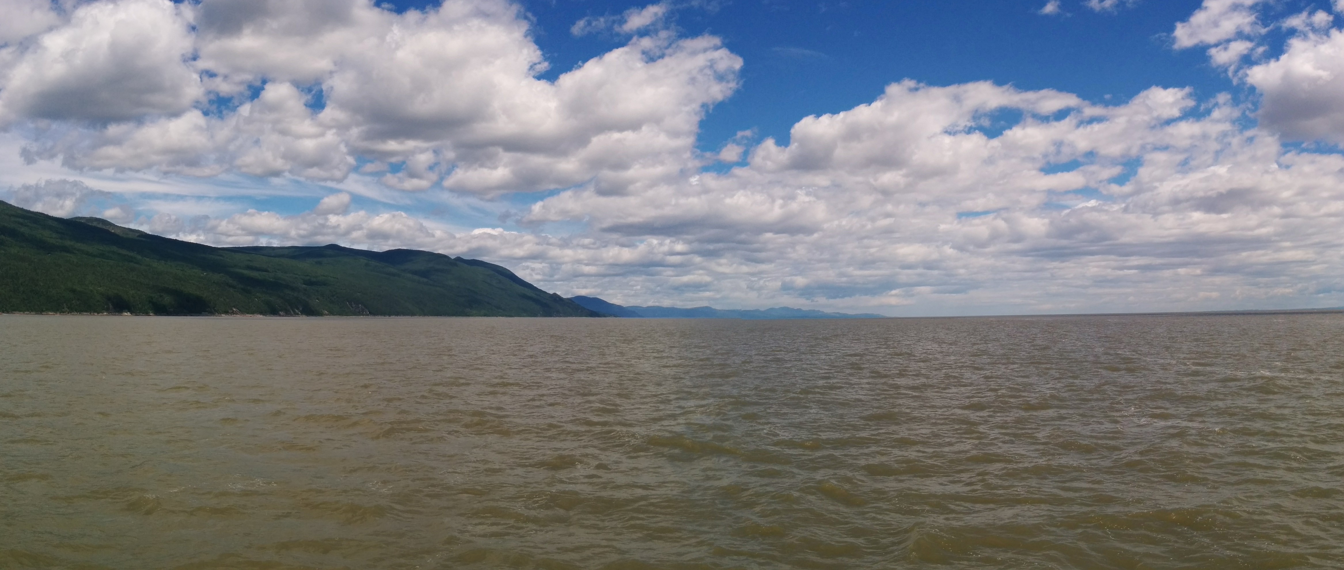
The section of the St. Lawrence between Quebec City and Toudoussac is called the Charlevoix Region.
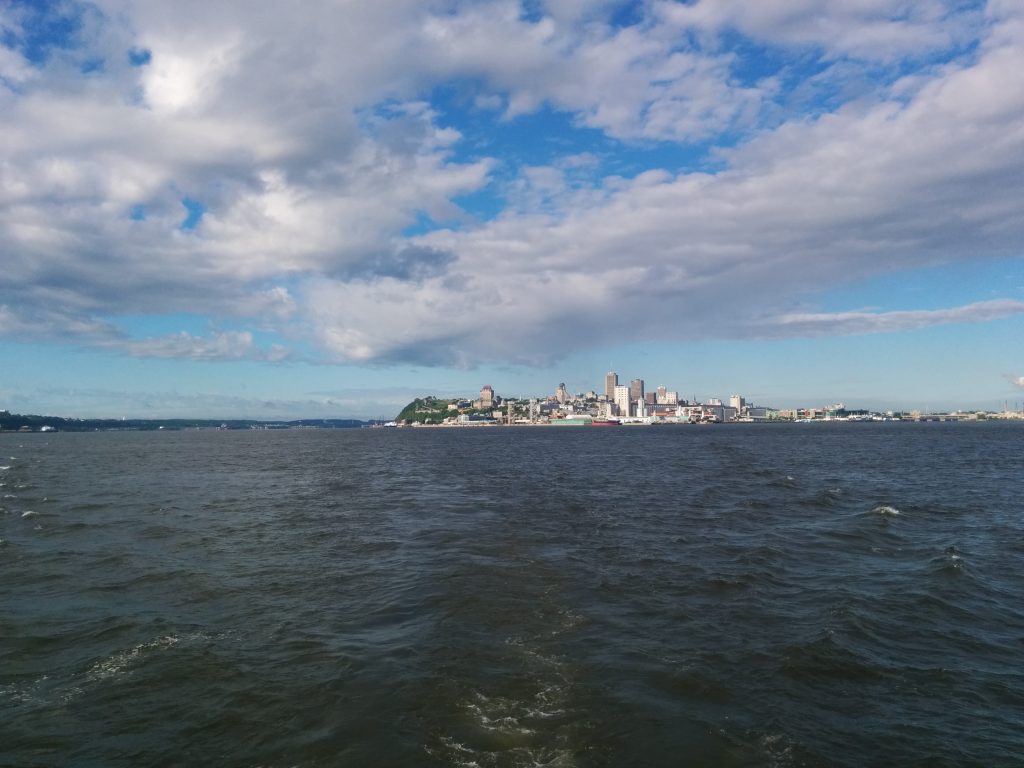
The scenery is spectacular, and the scale of the landscape enormous.
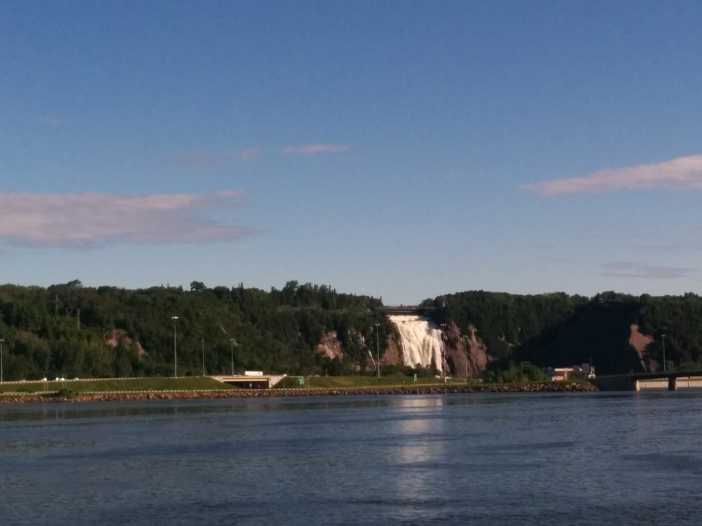
Our first landmark after leaving Quebec City on the North Channel was Chute-Montmorency, or Montmorency Falls, which are higher than Niagara Falls.
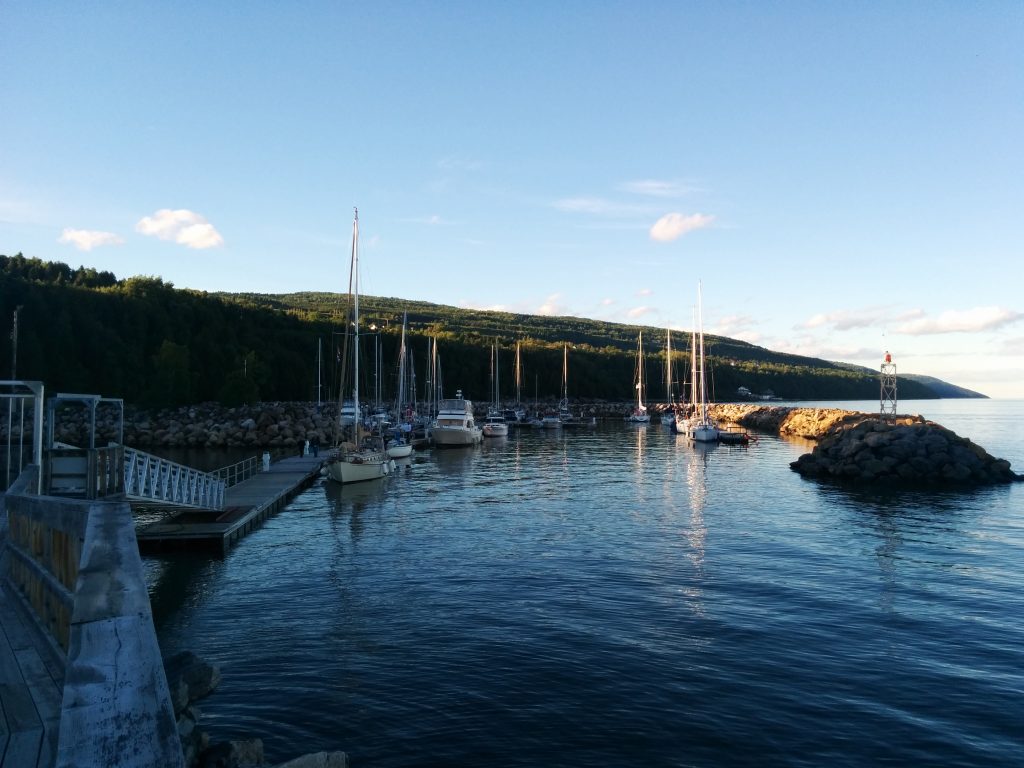
For the first night out from Quebec, there’s really only one overnight option for transient boaters, Cap-à-l’Aigle (Cape Eagle), pronounced Cahp-ah-lay, with just the hint of a “g” at the end.
Getting there requires careful timing to run the 72 miles with the maximum benefit from the strong tidal currents.
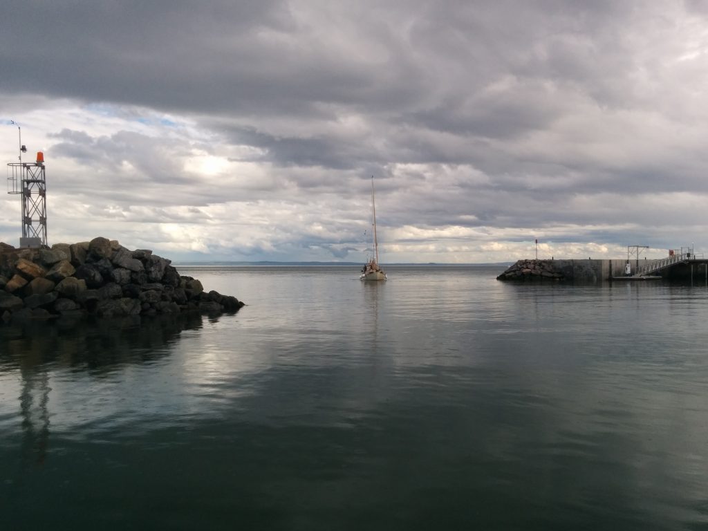
Ports like Cap-à-l’Aigle are “Harbors of Refuge” created by the Canadian federal government. They surround a basin with a stone breakwater to create an artificial harbor protected from the winds and waves of the river or ocean. Although initially developed for commercial use, many have been updated with floating docks and other facilities for recreational boaters, and are operated just like any other marina.
- Miles traveled: 832.3
- Engine Hours: 124.9
Great job
I love the pictures. Good job