Category: Uncategorized
x
x
x
Videos and Blogs
I’ve added a new page to the menu; Videos and Blogs.
This page breaks the trip up into segments by region, and contains links to the posts (blog entries) and time-lapse videos from each segment in sequence.
This is much easier to follow than the native WordPress post layout, which archives all the posts in reverse order by month.
Loop Statistics
Some facts and figures about the Down East Loop trip:
- Miles traveled: 2246
- Underway Hours: 320.2
- Average Speed: 7 knots
- Days Underway: 52
- Days in port: 38
- Ports Visited: 52
- Average Miles per underway day: 43.2
- Nights Anchored: 14
- Nights at a Dock or Pier: 51
- Nights at a Mooring: 8
- Nights at a Lock Wall: 4
- Nights ashore (in boatyard): 13
- Estimated Fuel Used: 783 Gallons
- Average MPG: 2.9
- States and Provinces:
- Maine
- New Hampshire
- Massachusetts
- Rhode Island
- Connecticut
- New York
- Vermont
- Quebec
- New Brunswick
- Prince Edward Island
- Nova Scotia
- Photos Taken: 2,960
- GoPro Video Frames 31,617
Closing The Loop!
Saturday, August 27th
At 1406 (2:06 PM) we passed close by Portsmouth Harbor buoy #2, crossing the track that we’d left back on May 30th.
This officially completes the Down East Loop!
We got to enjoy one last sunset over Portland Harbor last night.
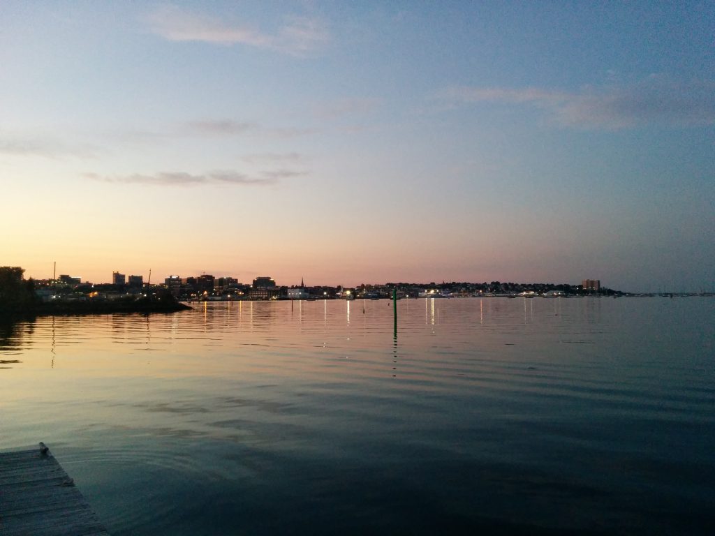
The weather was perfect for the 46-mile transit down to the Piscataqua River. Seas were nearly flat and the wind was light, with just enough breeze for the (real) sailors to set some canvas and provide us with nice scenery as we passed.
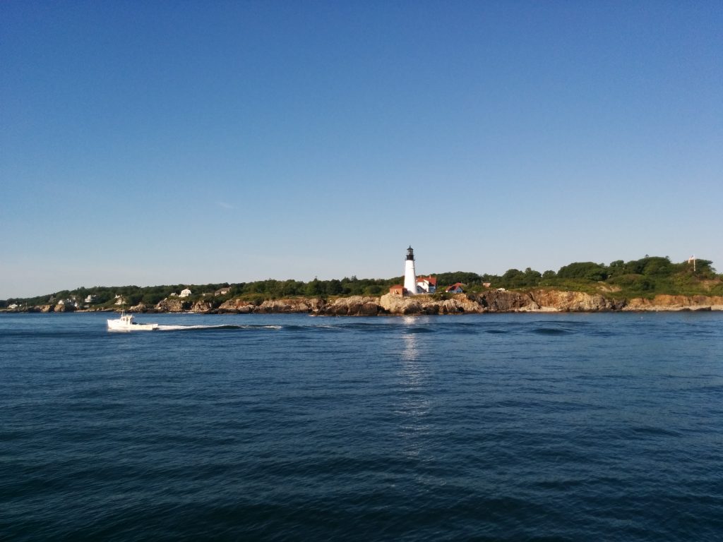
Our first landmark along the way home was Portland Head Light:
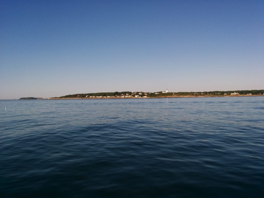
We next passed the Two Lights of Cape Elizabeth, then turned onto a straight course for Portsmouth Harbor.
We’ll be on the boat for the rest of the weekend, but as of today our Down East Loop trip is officially done.
- Miles travelled: 2246
- Engine Hours: 320.2
South Portland
Friday, August 26th
Choosing to believe our eyes instead of the weather forecast, we ended up leaving Boothbay Harbor after all. The sun was shining and the wind had been flat calm much of the night and all morning.
Of course, we knew that could change. But with only 11 miles of open ocean between Cape Newagen at the tip of Southport Island, and Small Point at the Eastern edge of Casco Bay, and after a calm night, we figured it was worth trying.
The gamble paid off. We had a little rain, the winds did eventually pick up, and there were some choppy seas in spots, but nothing we couldn’t handle for a few hours. In the end, we didn’t even need to duck behind any of the Calendar Islands in Casco Bay. We set a more direct course for the Fore River between Portland and South Portland, for a total distance today of 34 miles.
We called ahead, and were fortunate to be able to reserve one of the last available slips in South Port Marina, on the South Portland side just before the Casco Bay Bridge. This puts us farther from the action in Portland, but this marina is better protected from the incessant wakes around the city waterfront.
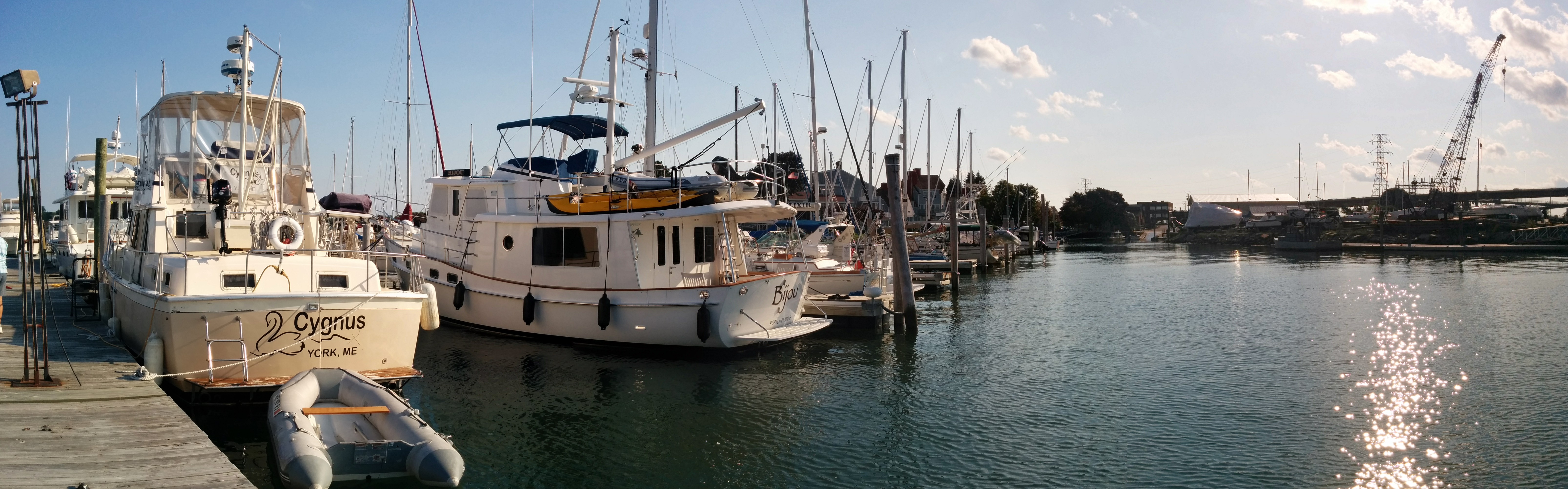
From this side of the river there’s a nice view of Portland Harbor and the city skyline.
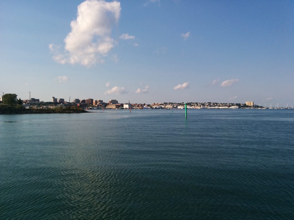
At this point the plan is to relax here overnight and get an early start in the morning. With any luck we could close the loop tomorrow!
- Miles traveled: 2190
- Engine Hours: 313.0
Boothbay Harbor
Thursday, August 25th
As planned, we’re spending another night in Boothbay Harbor.
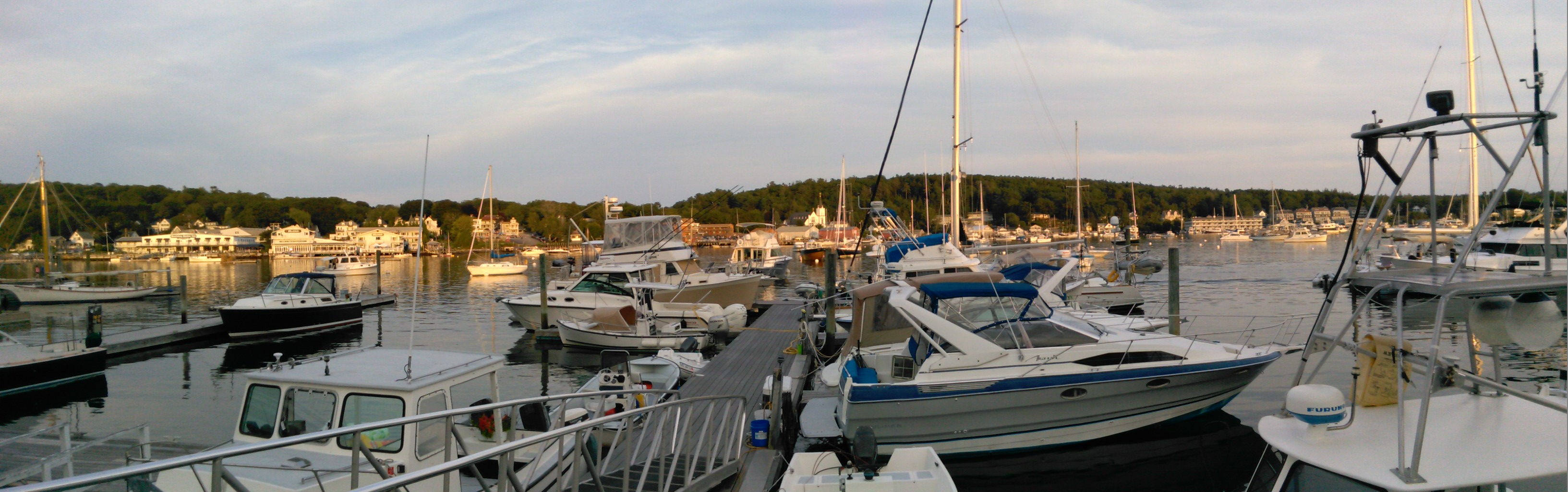
Boothbay was one of our first destinations when we started cruising the Maine coast, and remains a favorite. It has all the generic tourist-trap businesses you’d expect; restaurants, hotels, B&Bs, souvenir shops, harbor cruises, whale watching cruises, kayak rentals, ice cream, jewelry stores, etc. There’s a trolley that runs around the harbor and out to a supermarket. Then there’s the tee shirt outlet. Most of our tee shirts say “Boothbay Harbor” on them.
Oddly enough, we don’t visit the tourist destinations back home. We never go to York Beach, Hampton Beach or Old Orchard Beach in the summer. We go out of our way to avoid the traffic on Route One and Route 95 all season. There’s something about being here by boat that makes the difference. No traffic jams. We can walk back “home” to the boat any time.
Update Friday, 8/26:
The forecast continues to include strong winds and heavy seas. We have some open water to cross before we reach Casco Bay, so plans at this point are to stay here another night.
However, at this writing, there’s not a breath of wind. We’ll see what the day brings!
Sailing Vessel Cygnus
Wednesday, August 24th
Another early morning. We had 41 miles to go from the Inner Seal Bay anchorage to one of our favorite stops, Boothbay Harbor.
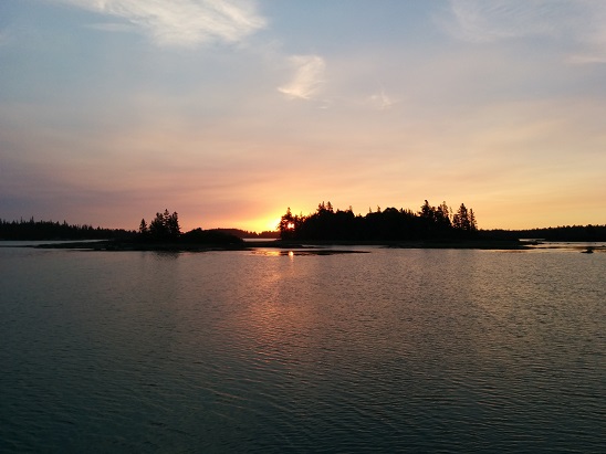
The weather was perfect for running the Fox Islands Thoroughfare between North Haven and Vinylhaven islands, crossing West Penobscot Bay and navigating the Muscle Ridge Channel. The reason for the early departure became apparent as the wind slowly increased while we transited the open waters around Port Clyde, past Muscongus and Johns Bays and around Pemaquid Point and Linekin Neck.
We reached Booth Bay just as noticeable seas were building, and turned in toward Boothbay Harbor.
Again, it was nice to see a lot more recreational boats than prior years. But one thing hasn’t changed. Around harbors, there are always plenty of folks out for a day sail. Between harbors, it’s more common to see sailboats with bare masts, motoring.
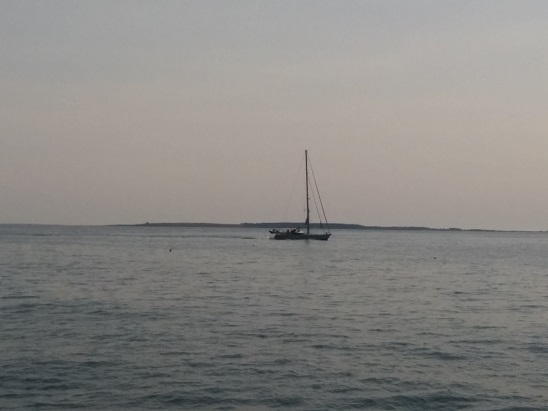
Our running joke (and technically correct, per the Navigation Rules) is to call this a “power boat with a stick.”
This got me thinking. Cygnus has a mast and a boom.
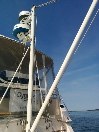
In theory, we could set a sail. Instead, we motor everywhere.
Just like so many cruising sailboats we see.
I’m thinking of changing the name of this site to “Sailing Vessel Cygnus.”
- Miles traveled: 2156
- Engine Hours: 308.4