On Saturday, March 11th, our first lock was Coffeeville.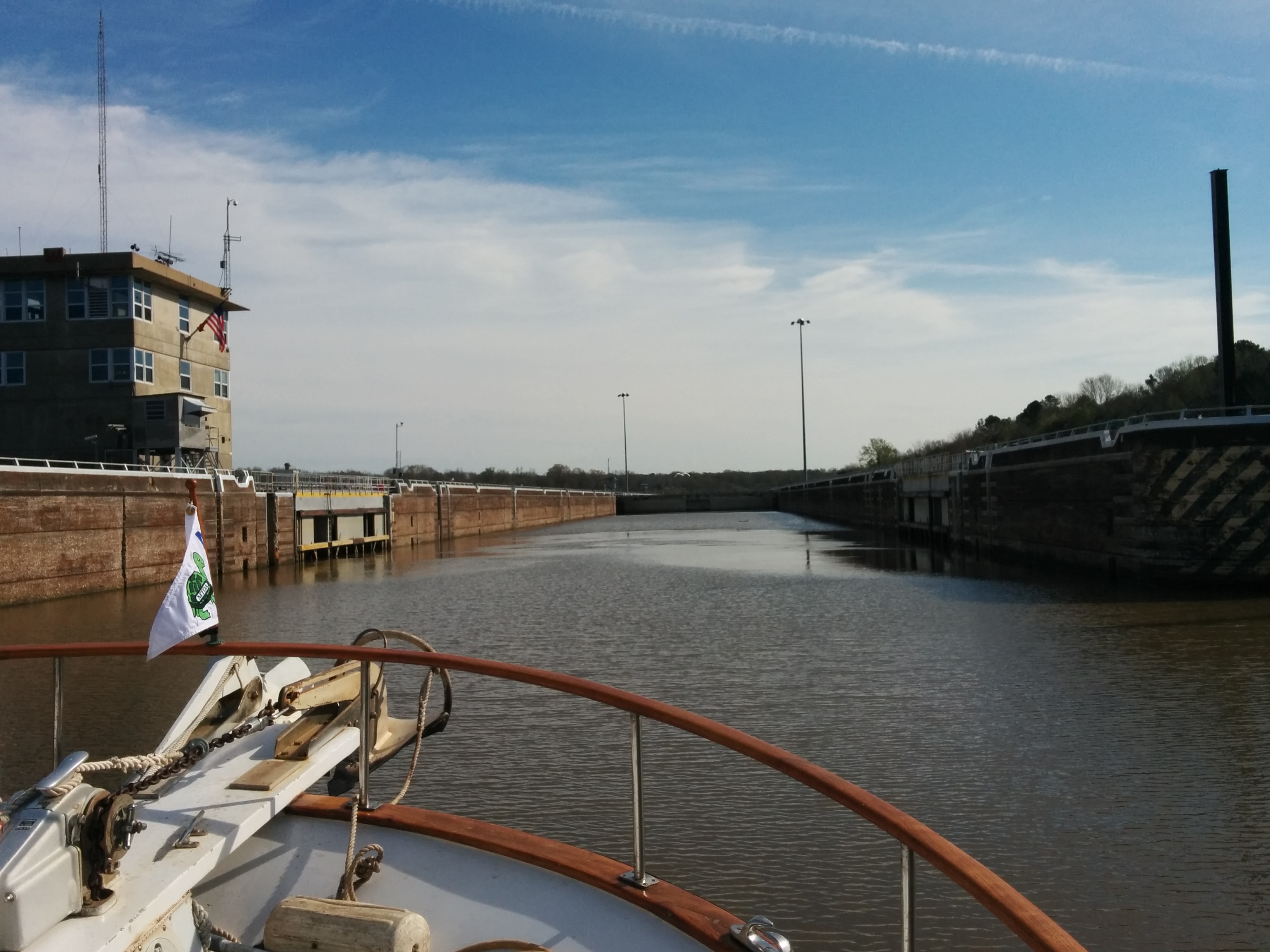
One thing we’d been noticing (and having trouble photographing) was that a lot of birds, notably herons, would gather when the lock was being operated, then swoop down to the back side of the upstream gate to fish in the pools of water created by the structure of the gate when the water level was lowered.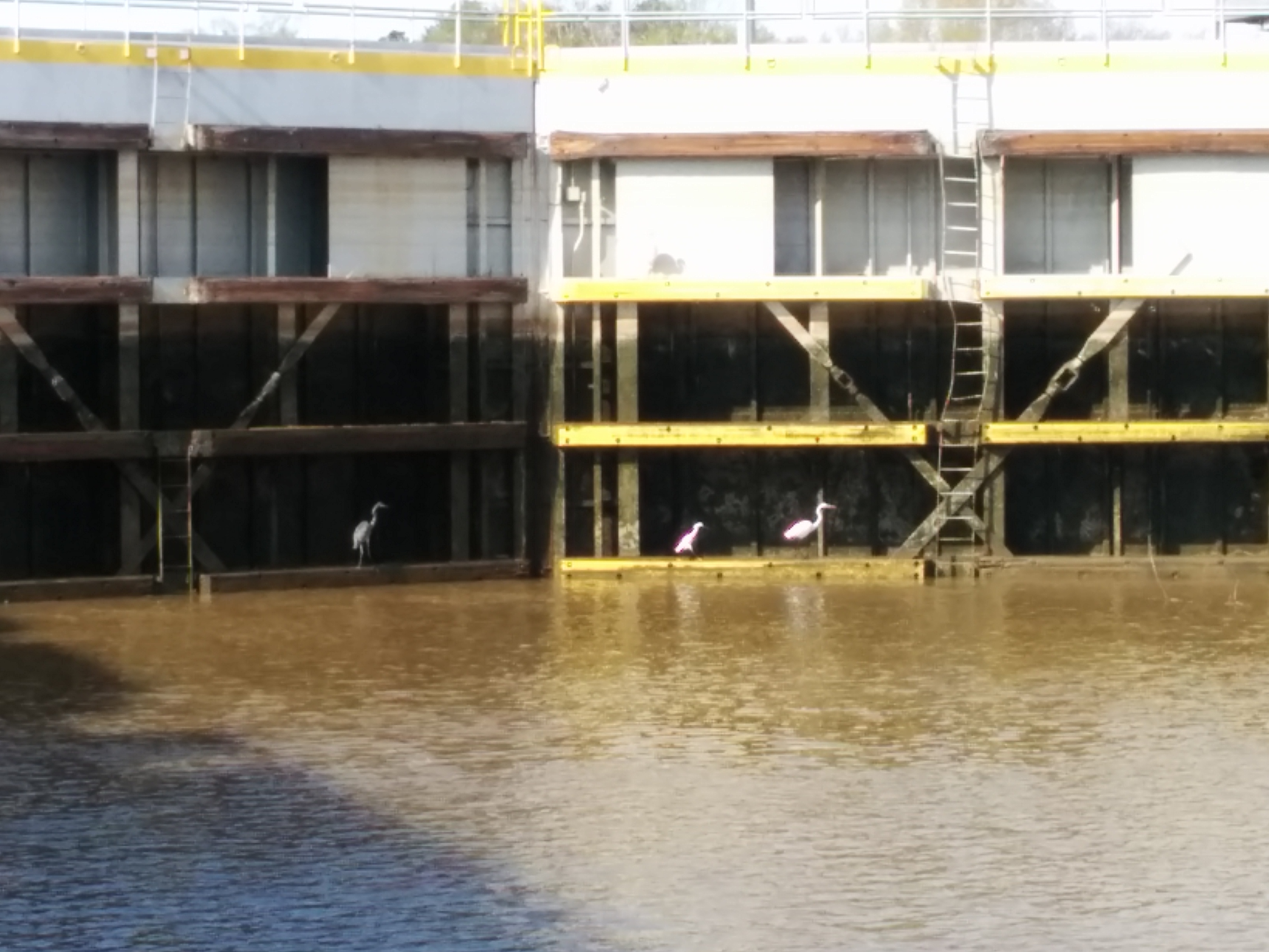
As with previous dams, the Coffeeville dam was releasing a large volume of water, and we met the strong current and turbulence as we exited.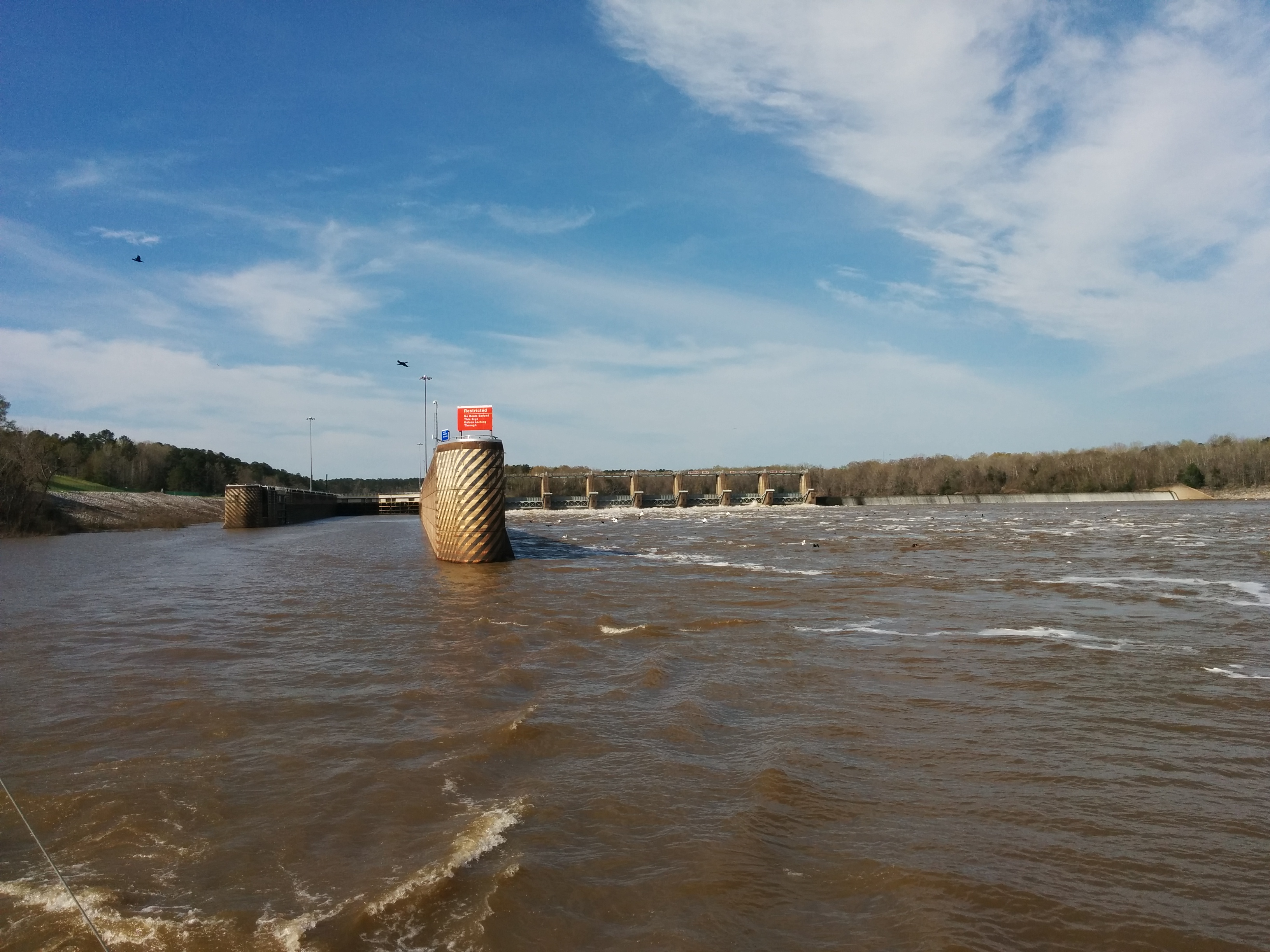
Also like before, there was a colony of white pelicans along the tailrace.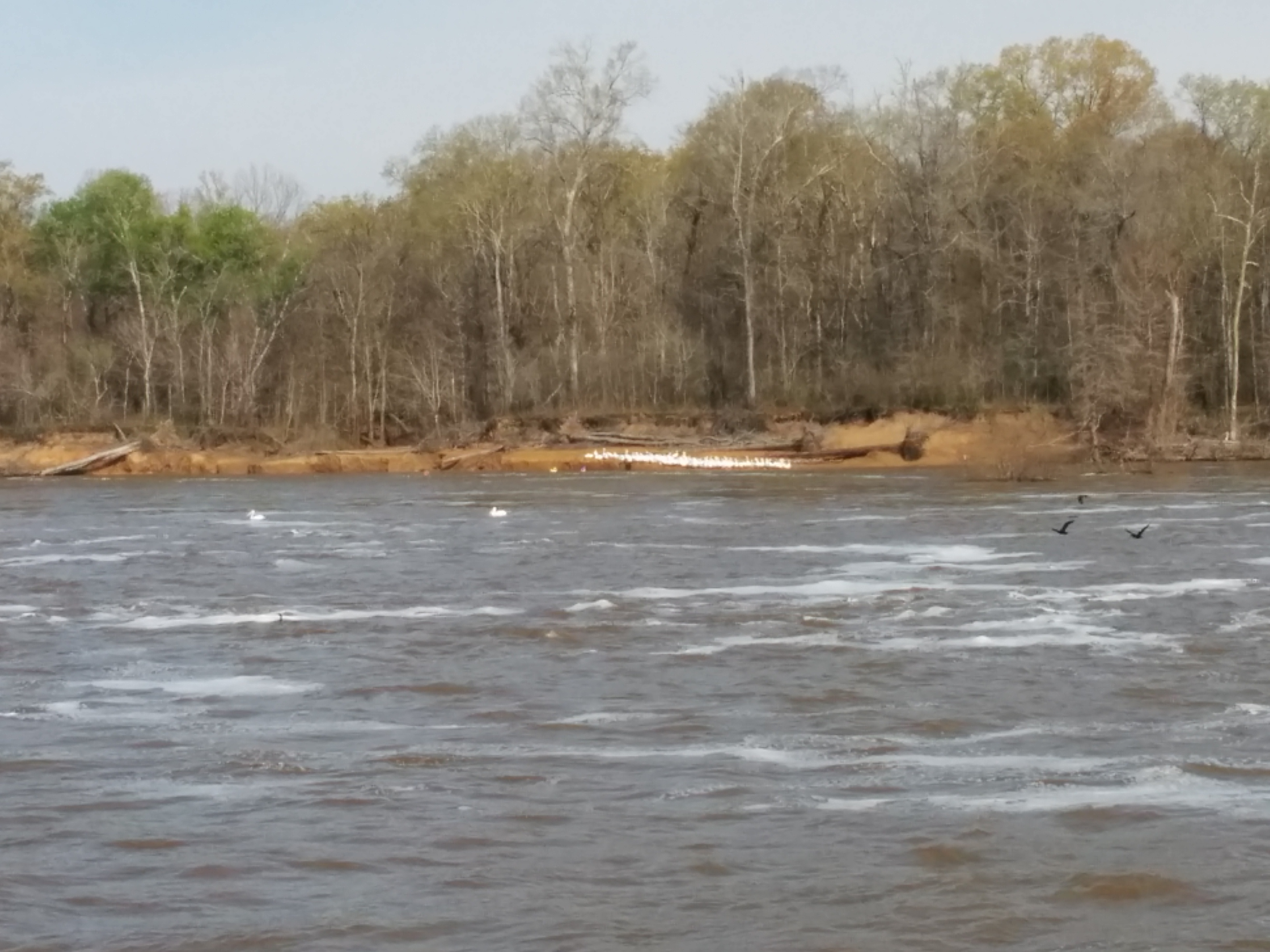
Even harder to photograph than birds, we saw our first two alligators sunning themselves along the banks.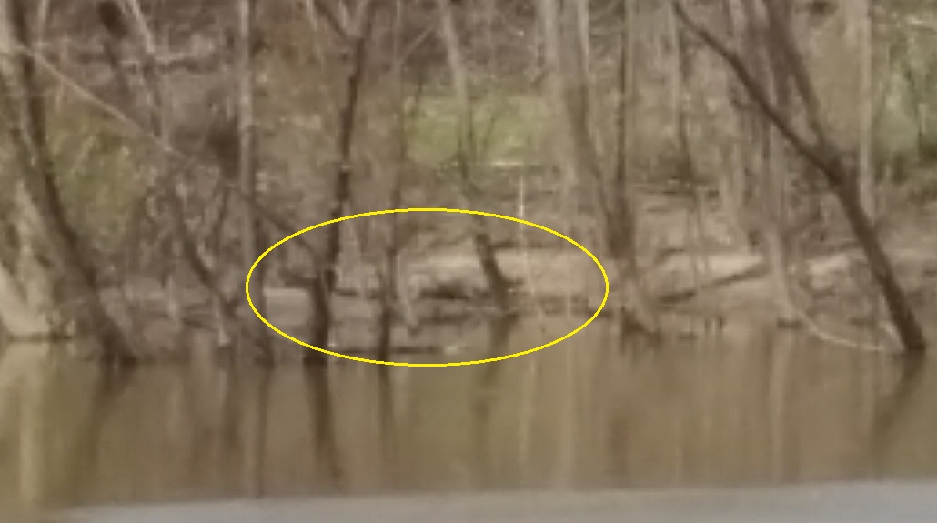
Barge traffic continued to be fairly regular, with varied cargoes as well as empty barges.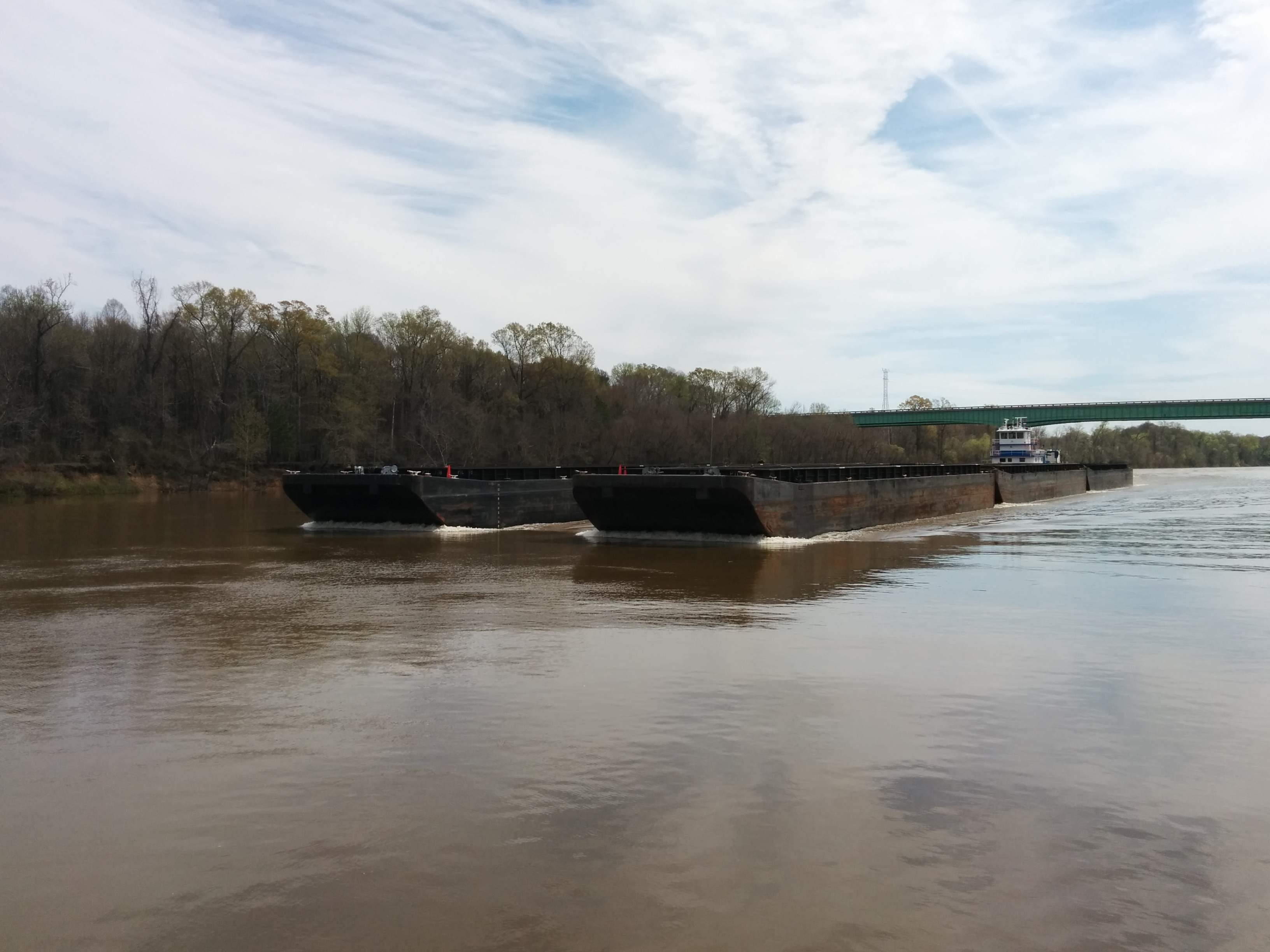
Although the river was running swiftly, and seemed to be at a higher level than usual, we noticed that it had recently been much higher. In some places, there was floating debris (including buoys) lodged at least 15 feet high on the banks. In other places, there was a visible, horizontal line in the foliage at the height the water had reached.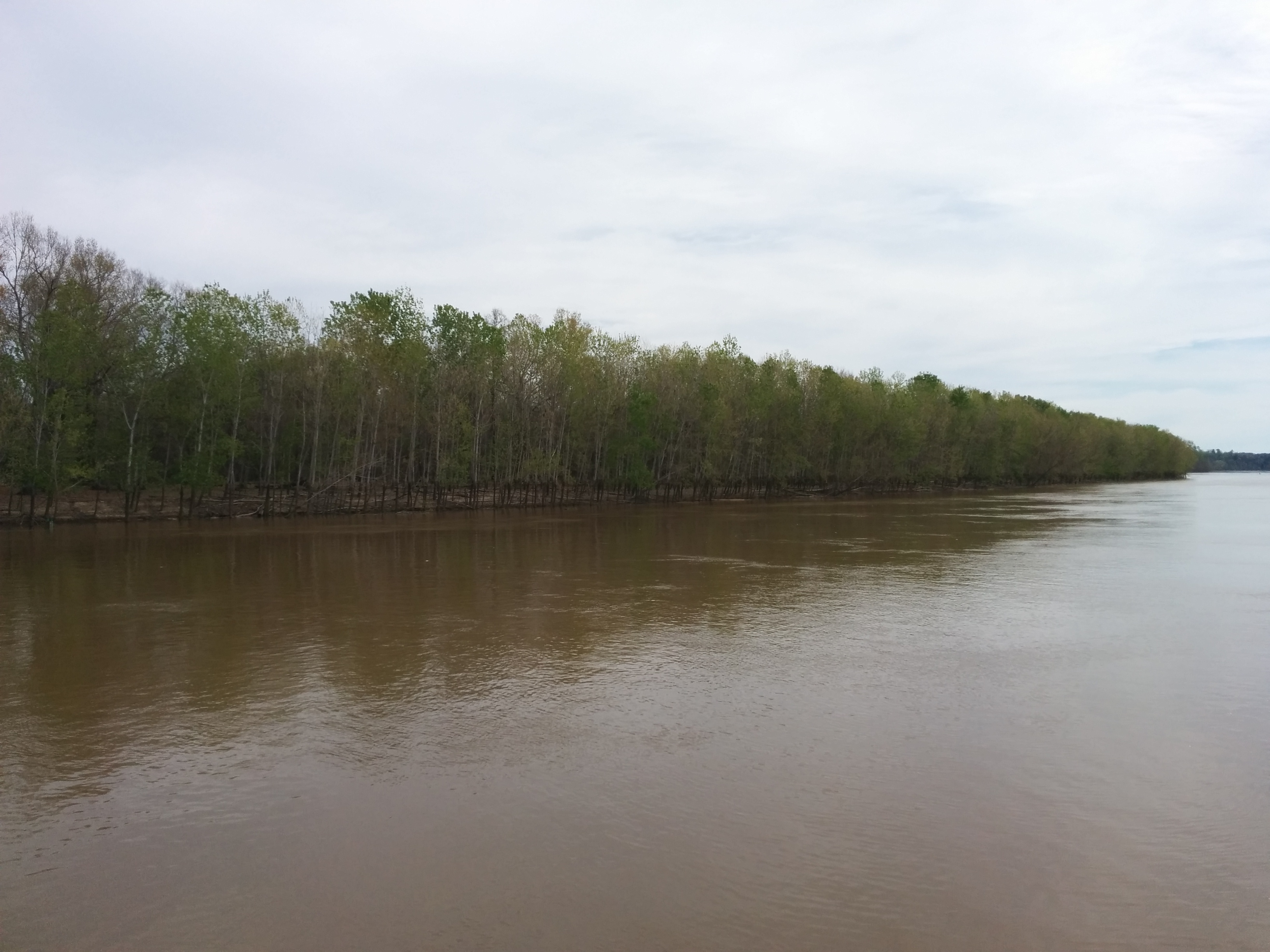
For much of the past few days, the banks were pretty monotonous. It always got our attention whenever there was any sort of building or structure.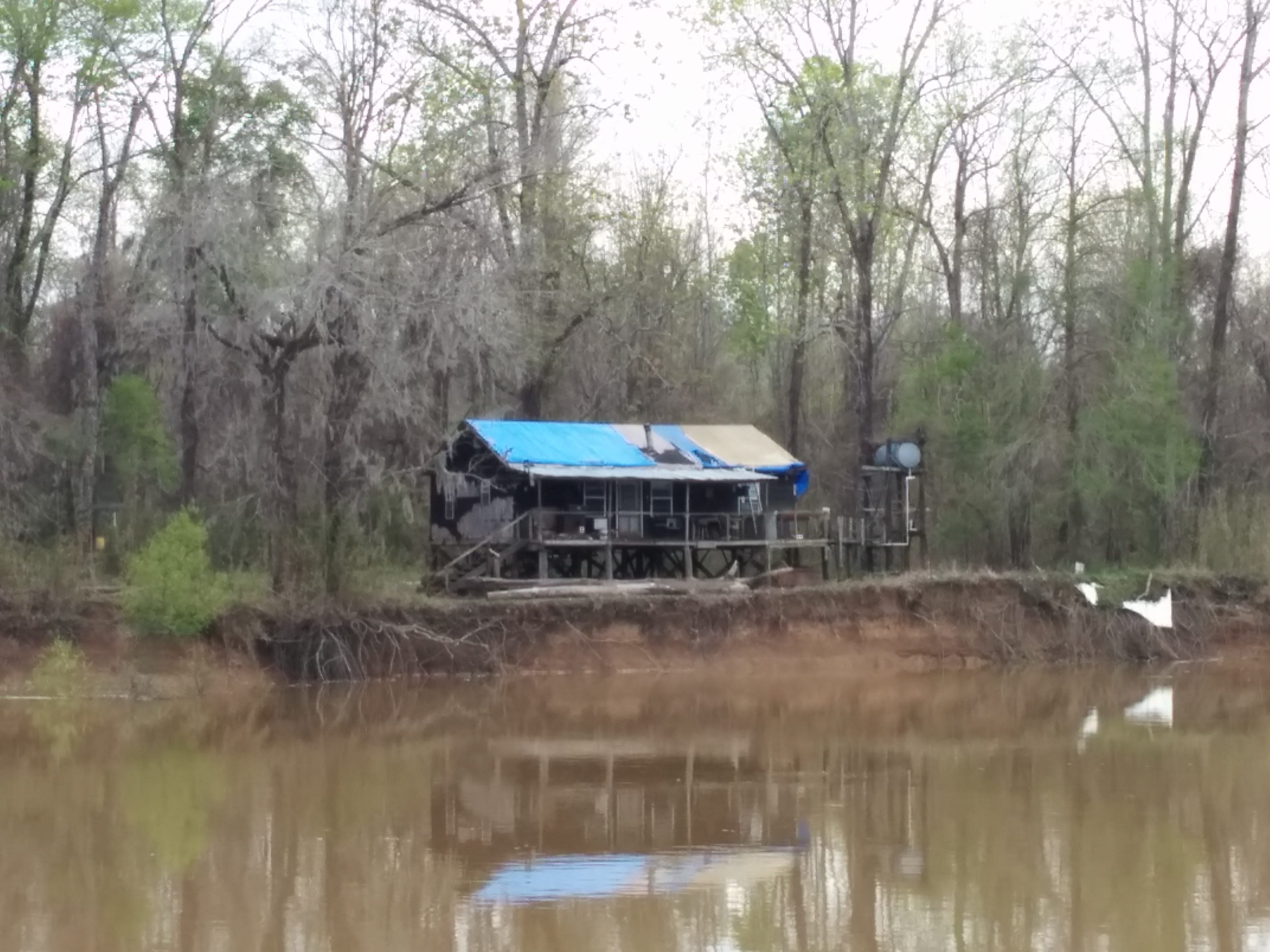
Our anchorage for the night was a short way down the Tensaw (sometimes written as Tensass) River, out of the main channel. The Tensaw meets back up with the Tenn/Tom Waterway farther down stream, and the flow was very swift, holding us in place all night. Despite the strong current, the anchor again performed flawlessly, and we didn’t move at all.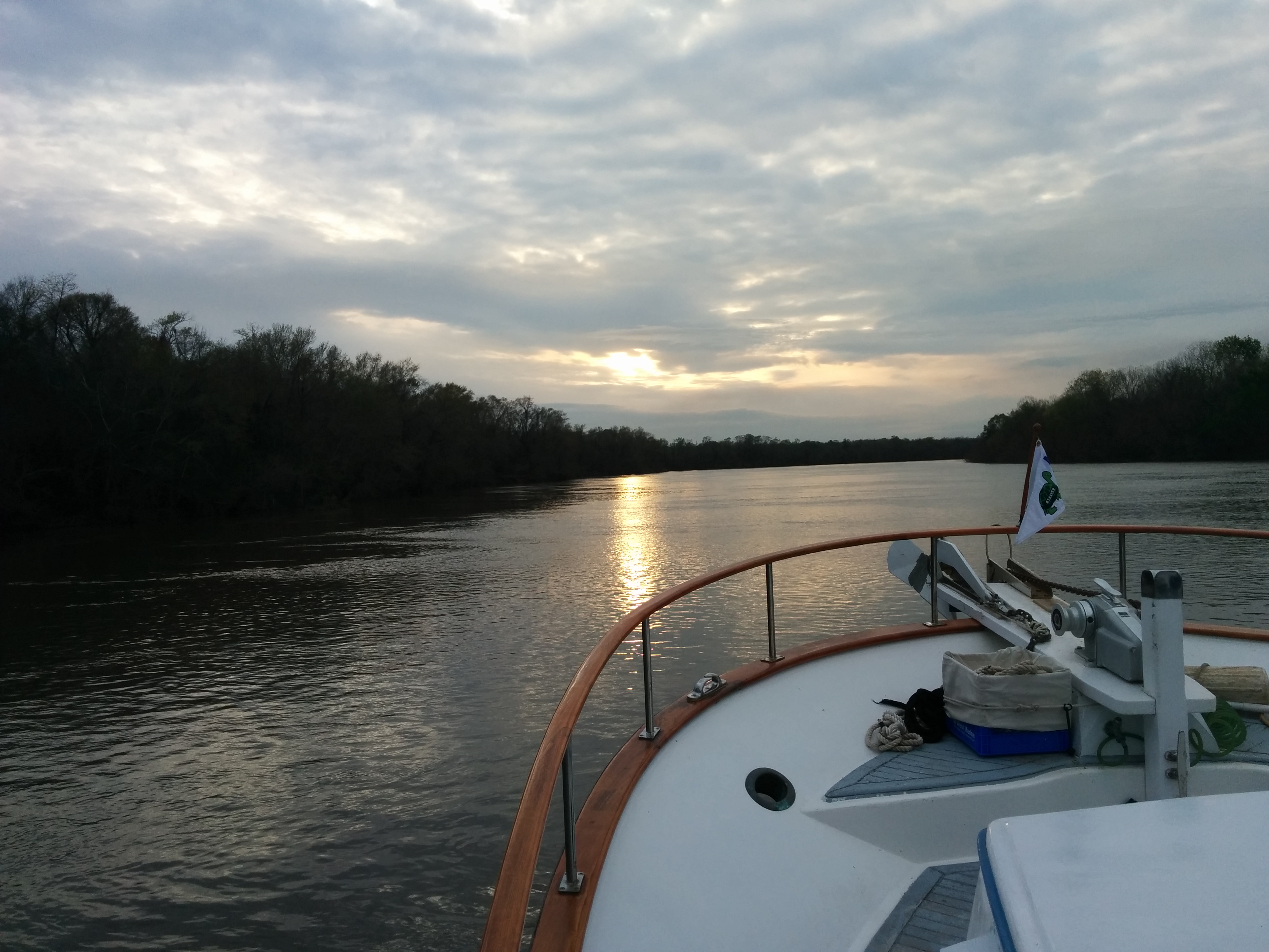
On Day 10 we traveled 75 nautical miles, for a trip total of 582 miles.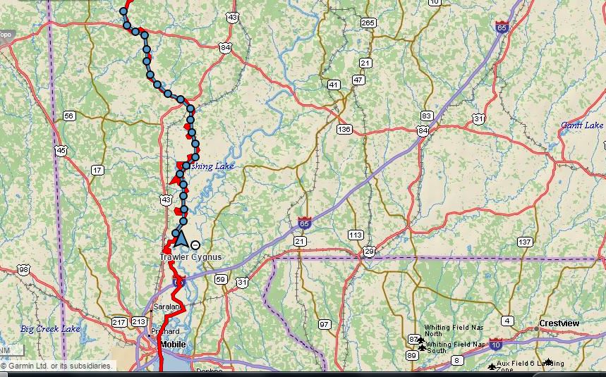
Previous: Day 9 – Demopolis to Okatuppa