Bridgeport, CT

Friday, June 3rd

Friday was much calmer on the Sound. For about half the day, we had a fair (favorable) current of about 1 knot helping to push us along.

Sometime around 11:15 AM the trip odometer passed 200 Nautical Miles, or about one-tenth of the total trip.

A nautical mile, about 6,076 feet, is about 1.15 times longer than the statute mile used ashore. This isn’t arbitrary. A nautical mile is also exactly equal to one minute of latitude, making it easy to work with on nautical charts. As we leave the ocean, and ocean navigation practices, we’ll be seeing more references to statute miles. But aboard Cygnus, the standard is the nautical mile.

Friday night we stayed at a marina in Bridgeport, CT called Captain’s Cove Seaport. It’s been described as “funky” and “kitchy,” both of which seem appropriate.
Bar at Captain's Cove

It’s a marina/restaurant/bar/tourist trap/fishing port set along a beautiful back channel (Black Rock Channel) away from the main harbor of Bridgeport. Across the channel is a high green spit of land with a utility-scale solar farm almost visible on top, and shoreside of Captain’s Cove is an industrial area. Of interest to us was the Shop & Save supermarket a little over a half-mile away. We got to try out the rolling cart we brought, and stocked up on supplies, including a few things we’d forgotten to pack.
Docked at Captain's Cove

Saturday is forecast to be another relatively calm day, with stormy weather expected Sunday through Tuesday for coastal waters. Fortunately, we hope to be heading inland, away from coastal waters by then. The plan is to finish the last leg through Long Island Sound and be in a good position to take on Hell Gate (part of the East River) on Sunday. The East River connects to the Hudson at Battery Park, the Southern tip of Manhattan, after which we turn North.

For the record, Hell Gate is a corruption of the Dutch phrase Hellegat, which could mean either “bright strait” or “clear opening.” The name stuck, because the currents in this stretch, even after 70 years of blasting out rocks, can be a challenge.

  • Miles travelled: 223.1
  • Engine Hours: 34.3

Long Island Sound

Thursday, June 2nd

The East wind was still fairly stiff when we left Point Judith heading West. As before, this made for a more comfortable ride for us, and more work for Otto.
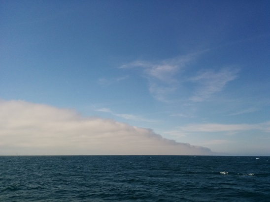
Underway Long Island Sound

A quick check of the current tables showed that we were due to hit The Race at the entrance to Long Island Sound almost exactly at maximum ebb (outgoing) current. Since the ebb was against us, and also against the wind, this would be a little more challenging than usual.

The other option, to cut the corner and transit through Fisher Island Sound, seemed better. The current was a little less, and with fewer miles stemming the ebb current, we’d save a little time. At the entrance to the sound, from Napatree Point to Watch Hill, the current was unbelievably strong, but as the sound opened up we found a more manageable 1- to 2-knot current against us. Since we only travel at around 7-1/2 knots, this adds quite a bit of time to this leg, but it’s still quicker than staying in one place and waiting it out.

We fought the current our whole time in the Sound today, with the water only starting to slack off as we pulled into the Connecticut River.
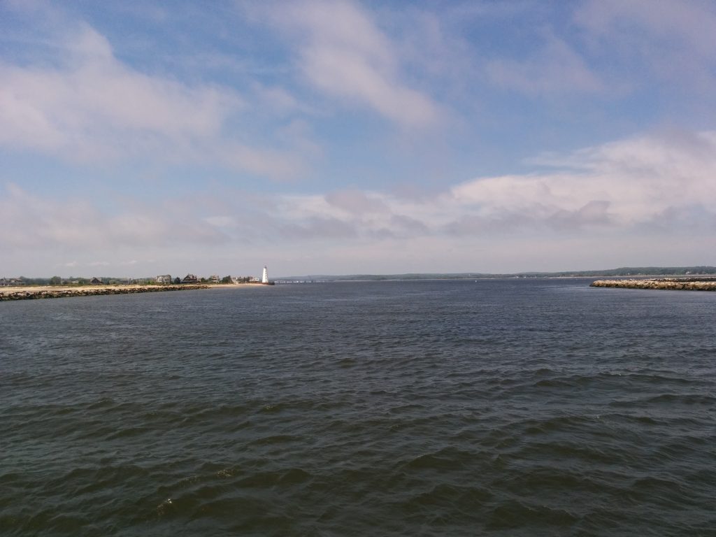
Connecticut River

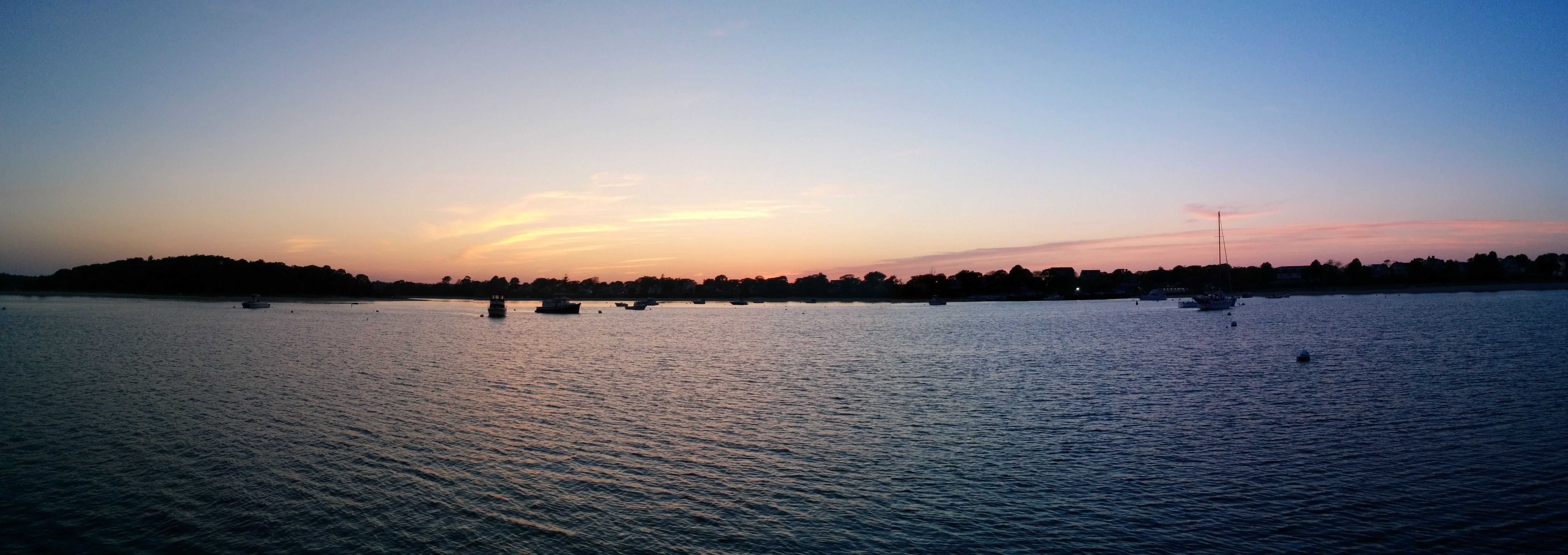
We’re moored tonight in North Cove, Old Saybrook, a very quiet and sheltered place well off the main channel of the Connecticut River.
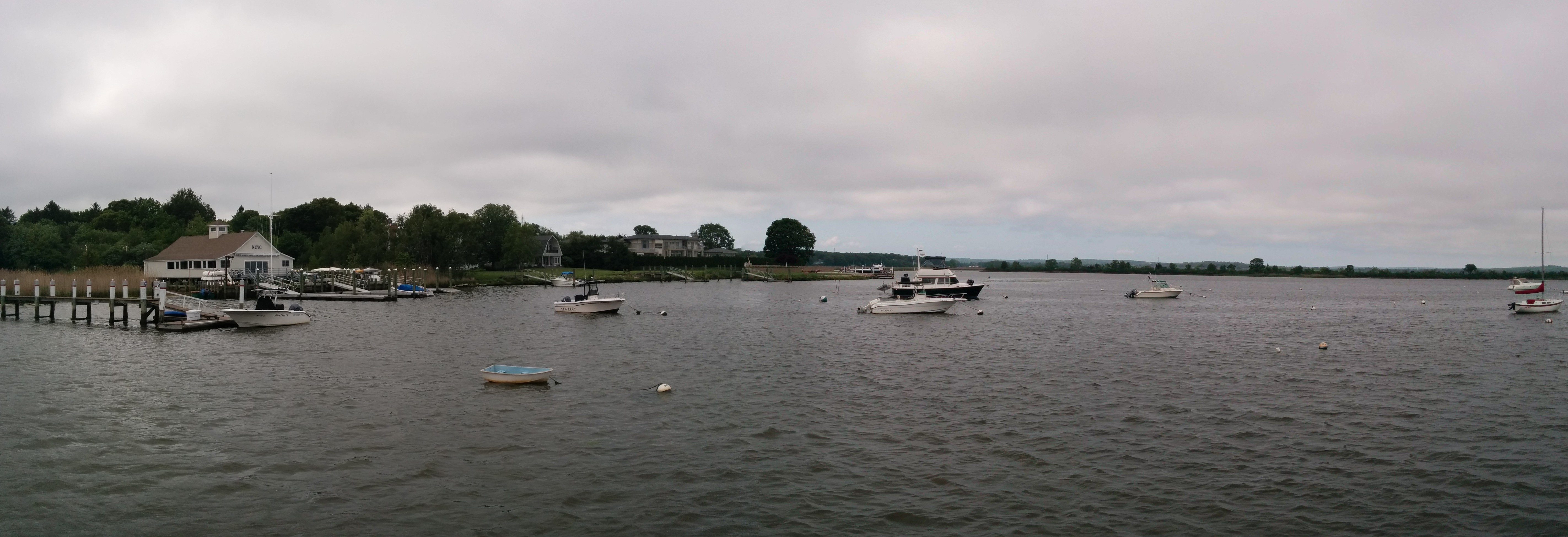
Saybrook North Cove

The forecast for the next few days is calling for calmer winds, and the plan at this point is to break up the remaining 80-90 miles of Long Island Sound into two legs, the second one ending in Manhasset Bay, and the town of Port Washington, before starting early the following day to round Manhattan and head up the Hudson.

  • Miles travelled: 188.4
  • Engine Hours: 28

Two Long Days

Wednesday, June 1st

The run down from Gosport to Onset was a long day. The wind steadily stiffened, and by the last hour and a half we were taking spray to the top of the flybridge, with the 15-knot+ wind and seas right on the nose.

This gave us a great opportunity to test out our new autopilot, which we’ve affectionately named “Otto” after the character in the movie Airplane: Otto the Auto Pilot

Entering the Cape Cod Canal was a welcome relief, and we decided to push through to Onset, on the West end of the canal. The town of Onset maintains inexpensive guest moorings, and soon after we secured the wind died down. After a great sunset, we were treated to a flat calm night, with dark skies and lots of stars, along with Mars shining bright at opposition.
Onset

The wind had started already Wednesday when we departed, but this time was blowing on our quarter the whole way. This point of wind is always easier on the crew, but harder on the helmsman. Otto did his best, and kept us on our track, although at times even he made some “snakes” in the water behind us.

With the wind still blowing at 10-15 knots, we skipped the Point Judith Harbor of Refuge and headed up to Point Judith Pond hoping to find a better anchorage. The Pond seemed pretty crowded with pillar buoys, floats and working boats. Suspecting there may be aquaculture, such as oyster beds, we chose to keep going up to Smelt Brook Cove, where we found a place to tuck in outside the mooring field and drop the hook.
Point Judith - Smelt Brook

  • Miles travelled: 143.6
  • Engine Hours: 21

Thanks, Bonnie!

Monday, May 30th

The remnants of Tropical Storm Bonnie continue to spread bands of foul weather across Southern Maine. Plans are still to officially start the trip today, although we won’t actually leave the dock until it looks like conditions are tolerable for making some respectable progress.
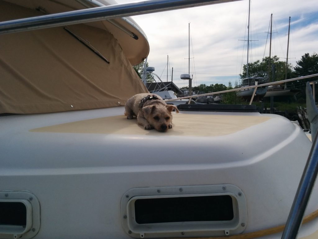
Sammy Waiting to get Underway

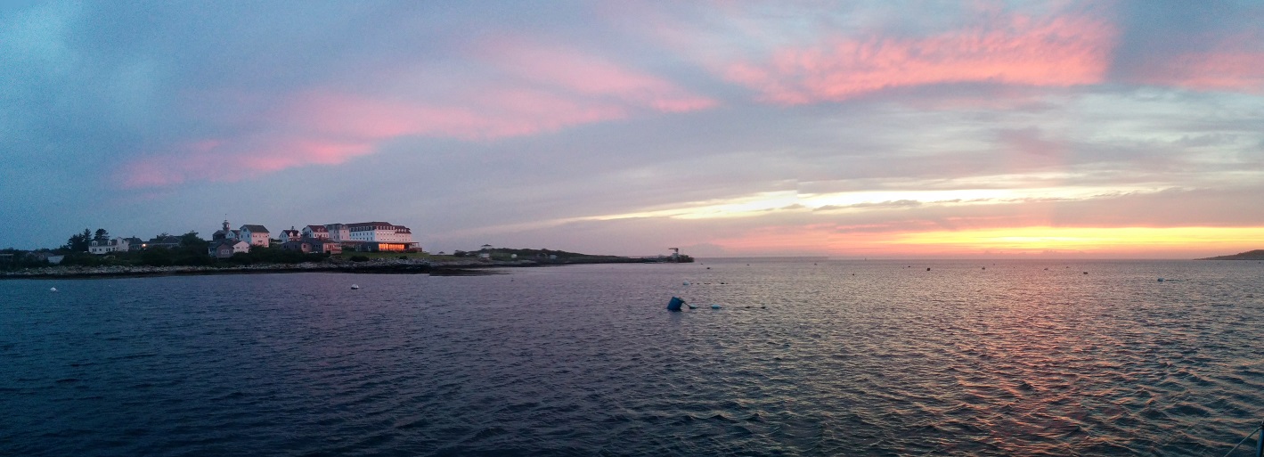
Update: We did get underway Monday, but only as far as Gosport Harbor, about 10 miles from Portsmouth Harbor.
Gosport Sunset