Sunday, July 31st
We took the time to top off our fuel tanks at Shelburne before leaving today, since it wasn’t likely to be a long day. We had a couple of anchorages not far from Shelburne in mind if sea conditions weren’t favorable, and even Clark’s Harbor, our first choice destination, was only 40 miles away.
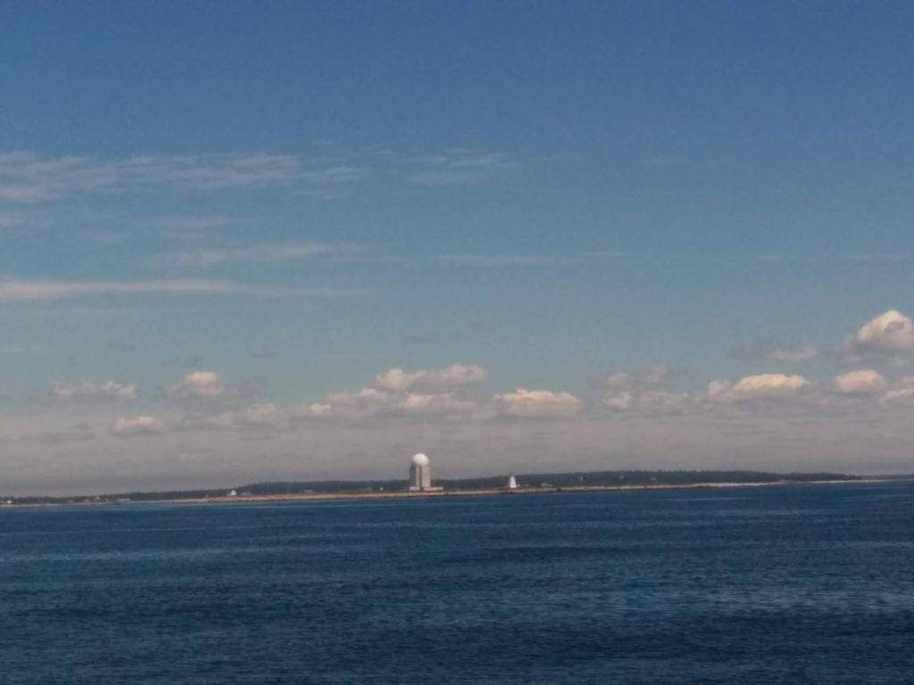
As it turned out, we had no trouble reaching Clark’s Harbor. Most of the way, we had very little fog. In fact, it was clear and calm enough to shoot some pictures of lighthouses we passed.
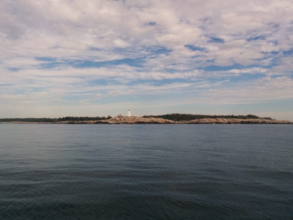
And this thing, whatever it is (that’s a lighthouse to the right of it, to get a sense of scale):
We made it around Cape Sable, the Southernmost tip of Nova Scotia, and turned North to Clark’s Harbor. We did run into some fog as the waters of the Bay of Fundy mingled with the rest of the Gulf of Maine. We also felt a significant drop in temperature, and checked our instruments. The water temperature had dropped from 60 degrees to 50.
We’d been told that the fishing boats in Clark’s Harbor are all out of the water, since it’s off-season for lobstering. That would mean we’d find plenty of room at the wharf to tie up for the night.
What our sources didn’t know was that the harbor would be full of boats with a hailing port of Shelburne. Since it’s Sunday, there was nobody around but a young man driving a forklift. We’re hoping that the spot he suggested doesn’t belong to a boat that will be returning tonight.
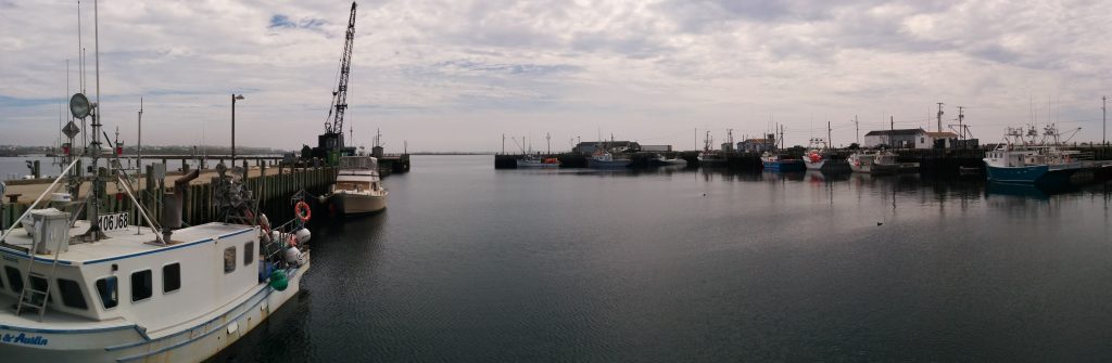
Cape Sable, and Clark’s Harbor, have always had a special allure to me. This is a real Nova Scotia fishing port. The reality is somewhat less than the picture postcard I had in my mind, or for that matter, the photos we took last time we were here by car. Due to new regulations on the waterline length of fishing boats, the new style is a short, wide boat with a dramatic overhang on the stern. Nowhere near as picturesque as the old Novi-style hulls. And since it’s off-season, the wharf we’re on is half torn up and being rebuilt, so it’s more of a construction site than a quaint fishing wharf.
Still, we’ve turned the corner. At one point we were at 43 degrees 23 minutes North latitude. That’s just 18 miles North of the latitude of Portsmouth Harbor. Although it is another 225 miles East.
Our plan now is to continue North up the Southwest coast of Nova Scotia. Yarmouth is only 35 miles from here, and from Yarmouth, Tiverton is only another 35. From Tiverton it’s an easy cruise over to Seal Cove on Grand Manan Island, which is just a short hop to Maine.
Some cruisers make the crossing from or to this area in one long leg. With only the two of us to stand watch, we’re trying to avoid long days where we’d have to set up a watch schedule. Making short hops gives us time to relax in between. And relaxing is what it’s all about.
- Miles traveled: 1868
- Engine Hours: 267.3