Natal Day in Nova Scotia

Monday, August 1st

We spent an uneventful night at the wharf in Clark’s Harbor after watching another great sunset from our deck.
Sunset in Clark's Harbor

We were a little surprised by the activity on the wharves late into Sunday night. It turns out the first Monday in August is Natal Day in Nova Scotia, so for a lot of folks it was a long weekend.

One of the interesting things along this trip has been the way the lobster traps in each area are a little different. From the bowed wooden traps in George’s Bay to these wire traps held together with pot warp.
Lobster Traps in Clark's Harbor

Along the way, we passed Pubnico Point, site of a FPL/NextEra wind farm:

Pubnico Point Wind Farm

After just 36 miles with light winds, calm seas and no fog, we arrived in Yarmouth at Killam’s Marina, where we’re tied up next to the H?k?le?a, a performance-accurate full-scale replica of a wa?a kaulua, a Polynesian double-hulled voyaging canoe.

Tied up in Yarmouth

  • Miles traveled: 1904
  • Engine Hours: 272.5

Cape Sable

Sunday, July 31st

We took the time to top off our fuel tanks at Shelburne before leaving today, since it wasn’t likely to be a long day. We had a couple of anchorages not far from Shelburne in mind if sea conditions weren’t favorable, and even Clark’s Harbor, our first choice destination, was only 40 miles away.

As it turned out, we had no trouble reaching Clark’s Harbor. Most of the way, we had very little fog. In fact, it was clear and calm enough to shoot some pictures of lighthouses we passed.
Lighthouse

And this thing, whatever it is (that’s a lighthouse to the right of it, to get a sense of scale):
Unknown Structure

We made it around Cape Sable, the Southernmost tip of Nova Scotia, and turned North to Clark’s Harbor. We did run into some fog as the waters of the Bay of Fundy mingled with the rest of the Gulf of Maine. We also felt a significant drop in temperature, and checked our instruments. The water temperature had dropped from 60 degrees to 50.

We’d been told that the fishing boats in Clark’s Harbor are all out of the water, since it’s off-season for lobstering. That would mean we’d find plenty of room at the wharf to tie up for the night.

What our sources didn’t know was that the harbor would be full of boats with a hailing port of Shelburne. Since it’s Sunday, there was nobody around but a young man driving a forklift. We’re hoping that the spot he suggested doesn’t belong to a boat that will be returning tonight.
Clark's Harbor

Cape Sable, and Clark’s Harbor, have always had a special allure to me. This is a real Nova Scotia fishing port. The reality is somewhat less than the picture postcard I had in my mind, or for that matter, the photos we took last time we were here by car. Due to new regulations on the waterline length of fishing boats, the new style is a short, wide boat with a dramatic overhang on the stern. Nowhere near as picturesque as the old Novi-style hulls. And since it’s off-season, the wharf we’re on is half torn up and being rebuilt, so it’s more of a construction site than a quaint fishing wharf.

Still, we’ve turned the corner. At one point we were at 43 degrees 23 minutes North latitude. That’s just 18 miles North of the latitude of Portsmouth Harbor. Although it is another 225 miles East.

Our plan now is to continue North up the Southwest coast of Nova Scotia. Yarmouth is only 35 miles from here, and from Yarmouth, Tiverton is only another 35. From Tiverton it’s an easy cruise over to Seal Cove on Grand Manan Island, which is just a short hop to Maine.

Some cruisers make the crossing from or to this area in one long leg. With only the two of us to stand watch, we’re trying to avoid long days where we’d have to set up a watch schedule. Making short hops gives us time to relax in between. And relaxing is what it’s all about.

  • Miles traveled: 1868
  • Engine Hours: 267.3

A Discovery

Saturday, July 30th

It’s a warm, sunny day in Shelburne. We’re staying another night, just for a break and to catch up on laundry, cleaning, boat maintenance and just relaxing.
Shelburne Mooring Field

There’s a farmer’s market in the museum area next to the marina, and we were able to score some fresh produce.
Shelburne Museums and Farmers Market

As we think about rounding the last few turns on our loop, it occurred to me that we’ve just proven a geographic fact.

We have traveled around Maine, New Hampshire, Massachusetts, Rhode Island, Connecticut, Vermont, part of Quebec, New Brunswick and Nova Scotia. By boat. The bottom of the boat never touched land. We circumnavigated a land mass that’s surrounded on all sides by water.
Down East Island

In other words, we’ve proven that this land mass is AN ISLAND!

I’ve never heard this fact mentioned in any Geography class I’ve taken. I tried Googling it with no success. As “discoverer” of this island, I assume it is now my responsibility to name it.

My first thought was some mixture of words representing all the different cultures we’ve passed through. But there are just too many. Likewise, an acronym like “MENHMARICTVTQCNBNS” just wouldn’t work. The only thing these places have in common is that they’re near the Eastern tip of North America, downwind from the rest of the Atlantic coast.

So, I’m declaring this “Down East Island.” Once my Down East Loop burgee is completed, I’ll declare it to be the island flag.

Being a discoverer is a big responsibility. Columbus got a federal holiday for his discovery. Amerigo Vespucci had a continent named after him. Cook had an island chain. Giovanni da Verrazzano got a bridge.

PS: As I was writing this, my inflated sense of my own accomplishments was burst pretty soundly. Two of our dock neighbors here are visiting world travelers. They’ve sailed all the worlds oceans, and spent time in lots of faraway places. Just catching bits of their conversation is very humbling. My little circumnavigation pales in comparison.

Update: This marina is home to an active boat club. It seems there’s always a sail training program, or a race, going on. We get front-row seats to all the action. Although, with almost no wind most of the day, “action” may be too strong a word.
Sail Racing in Shelburne

Shelburne, NS

Friday, July 29th

A bright sky, with calm winds and seas, promised for a good travel day. We hoped to reach Shelburne Harbor, about 40 miles Southwest of Liverpool Harbor. There are a number of anchorages near the mouth of the Harbor, as well as more anchorages and a marina up the river.

Under mostly cloudy skies, the fog actually increased as the day progressed; at first patchy, but eventually just a solid mass, with visibility measured in feet. But the seas remained calm and travel was not difficult.

After yesterday’s daring rescue towing evolution we got settled in late and neglected a lot of boat chores. We were also getting tired from the early mornings and long days underway. We elected to take the seven-mile trip upriver to the Shelburne Harbor Yacht Club, rather than anchoring at the harbor entrance for another early morning getaway tomorrow. After all, this is supposed to be a vacation.

The total mileage for the day ended up being 48 miles, and we’d spent 6.8 hours underway.

When we called the club, visibility at their location was about five miles. However, the standard mid-day Southwest wind had already begun, and it blew in a thick patch just as we arrived. S/V Kantala, whom we’d spoken with on the radio at the harbor entrance but never seen, arrived about a half-hour later. A third boat arrived soon after. Counting the one that was here before us, the transient dock is now full, with four boats tied up.
Shelburne Yacht Club
(This picture was taken before the last two boats, and the thicker fog, arrived.)

The plan at this point is to relax here for an extra day, probably getting underway Sunday.

  • Miles traveled: 1828
  • Engine Hours: 261.7

Brooklyn and Liverpool

Thursday, July 28th

Surprise, we have internet access again. Canada is much more connected than Maine!

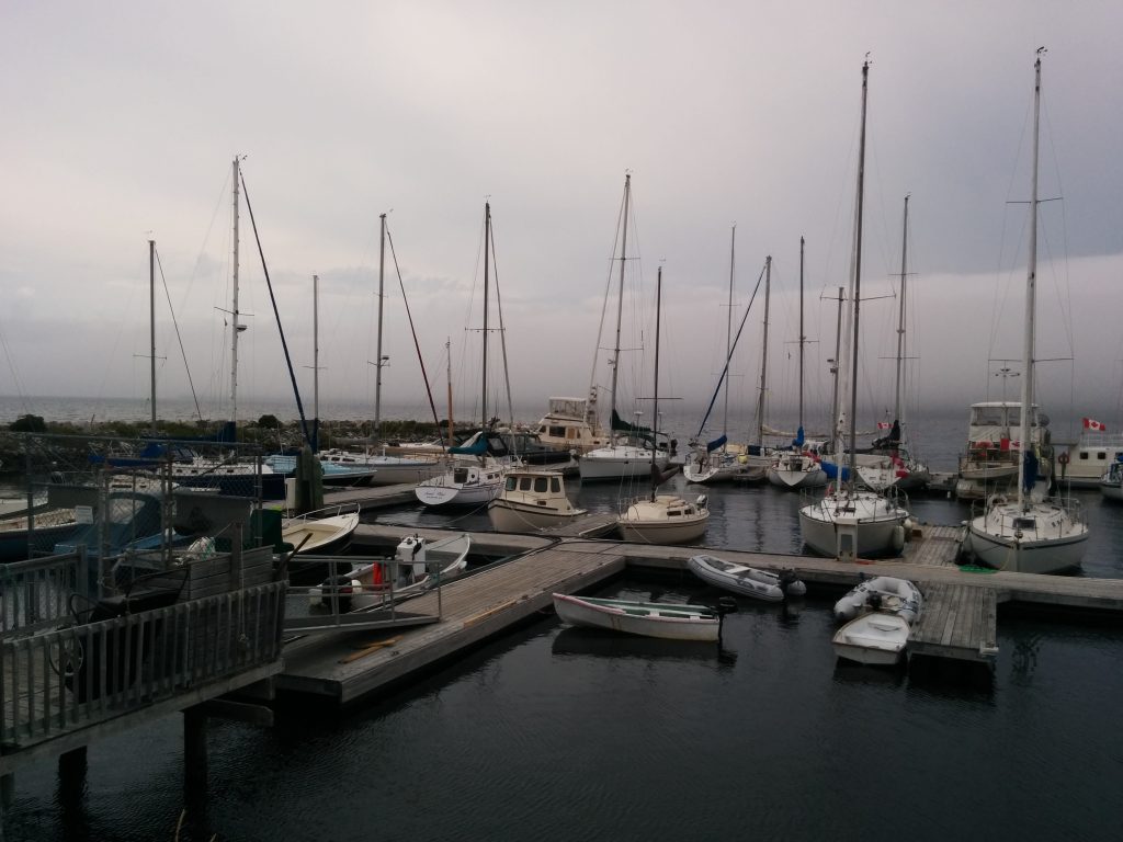
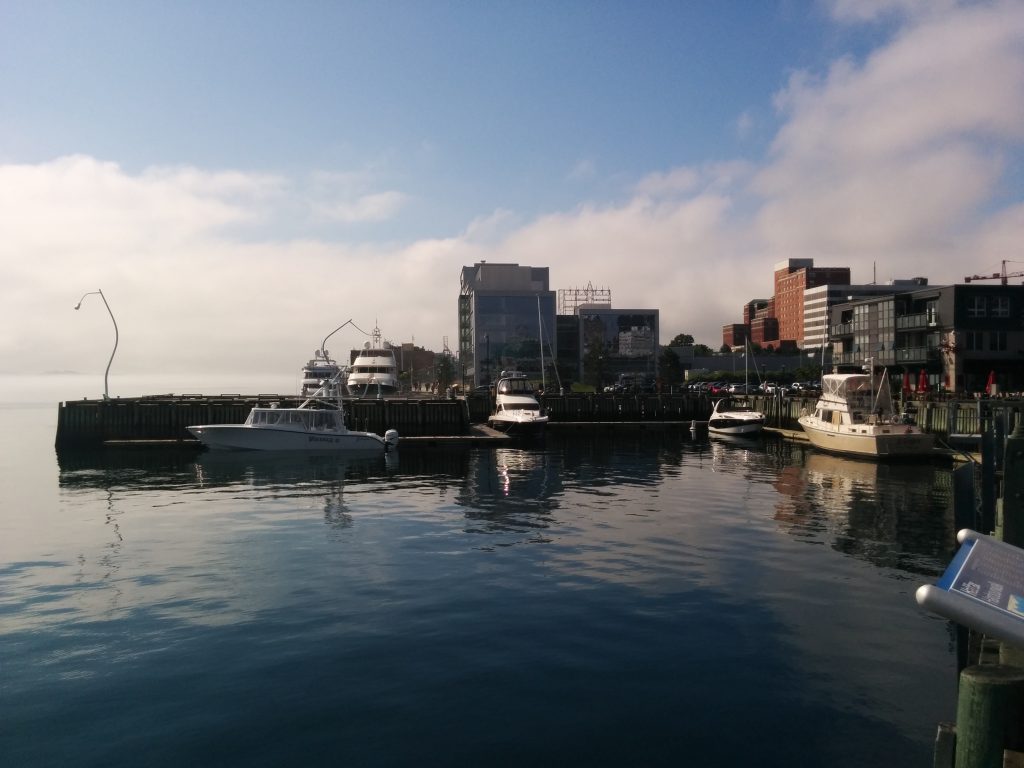
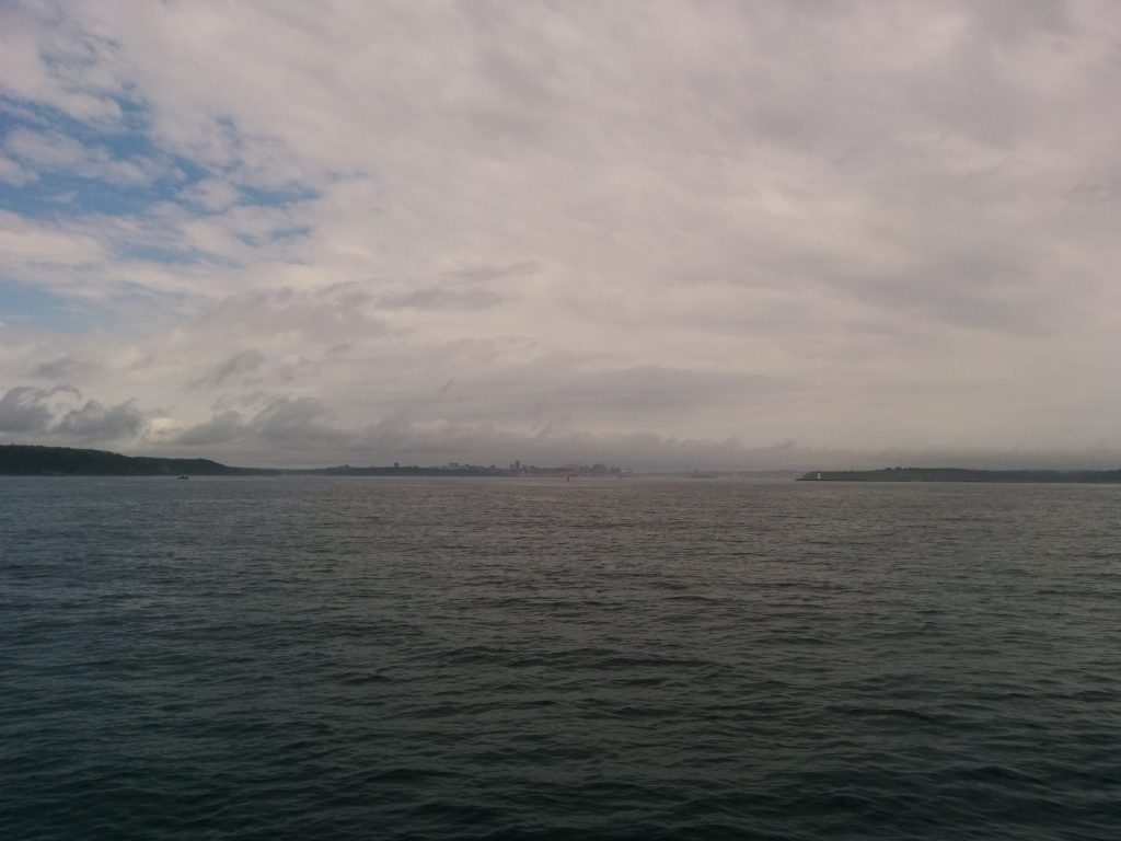
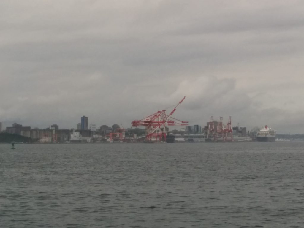
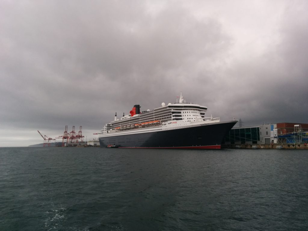
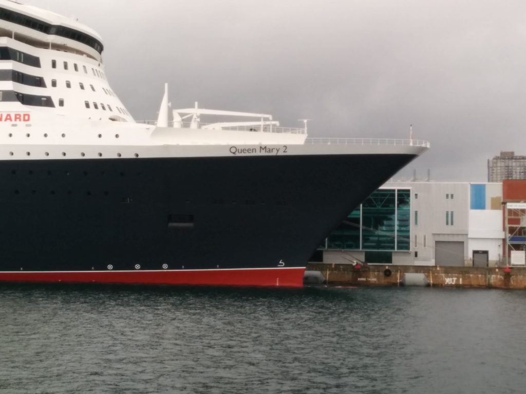
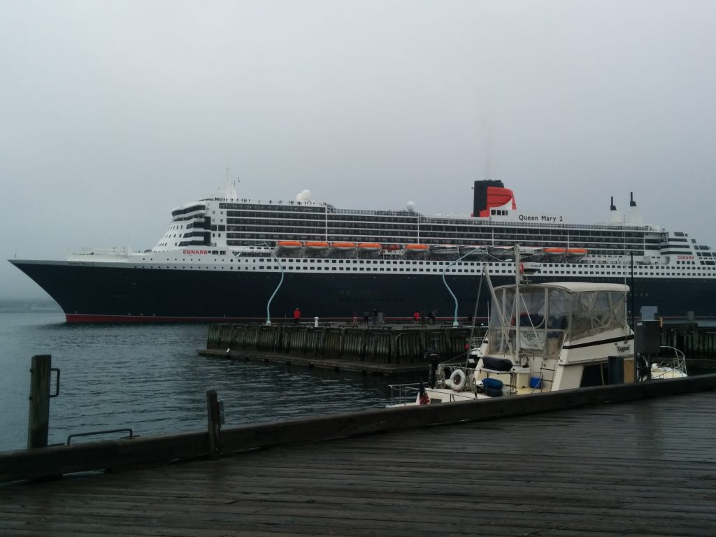
We left Halifax in thick fog; less than 100 yards visibility. We did a courtesy check-in with Halifax Traffic Control on VHF channel 12, and threaded our way out between the wharves, islands, criss-crossing channel buoys, ferries, work boats, container ships and tug boats. Halifax Traffic does a good job of keeping track of everyone and letting each vessel know what to expect. With AIS, two radars, three chartplotters and two VHF radios on the bridge, we really didn’t have much trouble. Sammy hates the fog horn though!

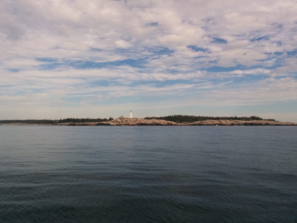
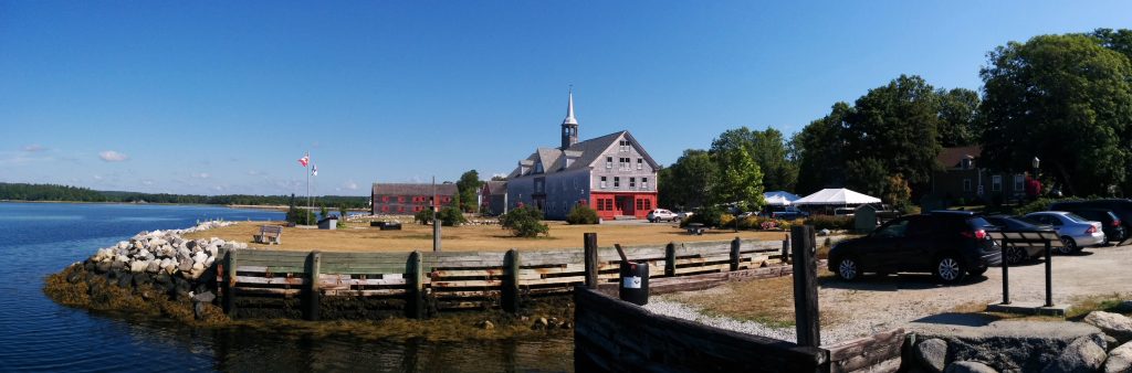
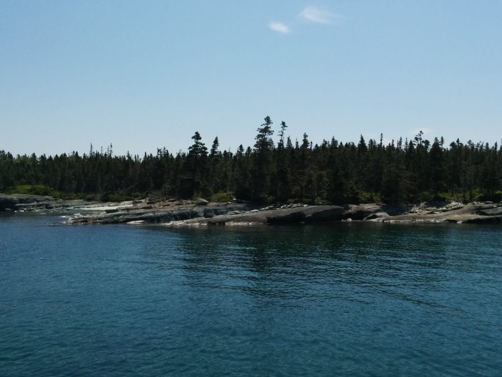
Despite the fog, conditions outside were great for traveling. The seas were somewhat less than previous days, but more importantly, they were regular and consistent. We didn’t experience the violent rolling and pitching the Northeast coast had produced. We quickly decided to continue past our original destination for another 30 miles, for a total of about 70 miles today. Our chosen destination was Brooklyn, Nova Scotia, on Liverpool Harbor. I thought it would be fun to say we went from Halifax to Liverpool to Brooklyn, all in one day.

About 6 miles out of Liverpool Harbor we overheard a call on VHF channel 16 to Halifax Coast Guard Radio, asking for assistance. The sound was crisp and clear, and seemed close. I jotted down the Latitude and Longitude the caller sent, and that spot was about 18 miles North of us. However, if he’d transposed two digits, that would put him just a mile or two away, in the exact location where we saw a lobsterboat not making way.

After some back-and-forth with the Coast Guard, we were able to confirm that the boat we saw was indeed the one that had broken down. We were already on our way. The vessel was a 44-foot Novi-hull offshore lobster boat, easily twice the weight of Cygnus. The owner had just bought the boat and had run into some sort of fuel problem. We talked about loaning him a fuel transfer pump, but in the end we all agreed it would be best to tow him to Liverpool Harbor, with thanks from the Coast Guard.
Miss Caitlin in tow

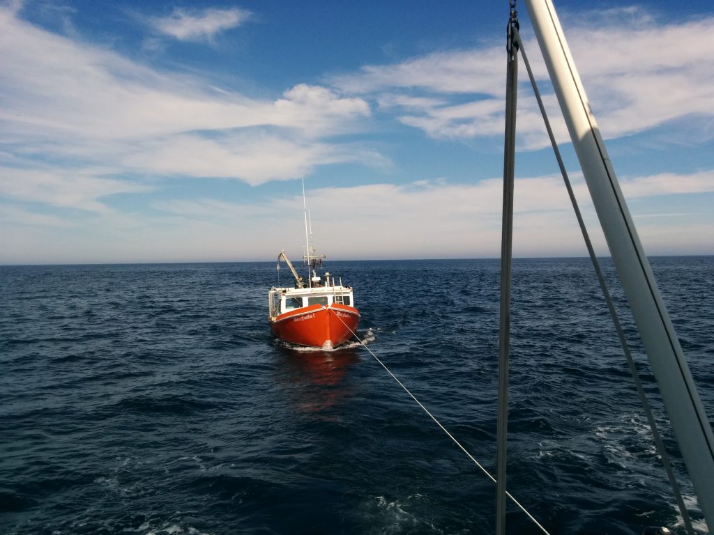
For my Auxiliary friends, he caught the line on the first toss and we took him in a stern tow on about 85 feet of 5/8″ nylon tow line. Seas were moderate and Cygnus seemed to enjoy her new role as a tugboat. In a textbook tow we would have put out more line, but having a 20-ton sea anchor really cut down on the roll and we didn’t see any serious shock loading. And we were heading into protected waters.

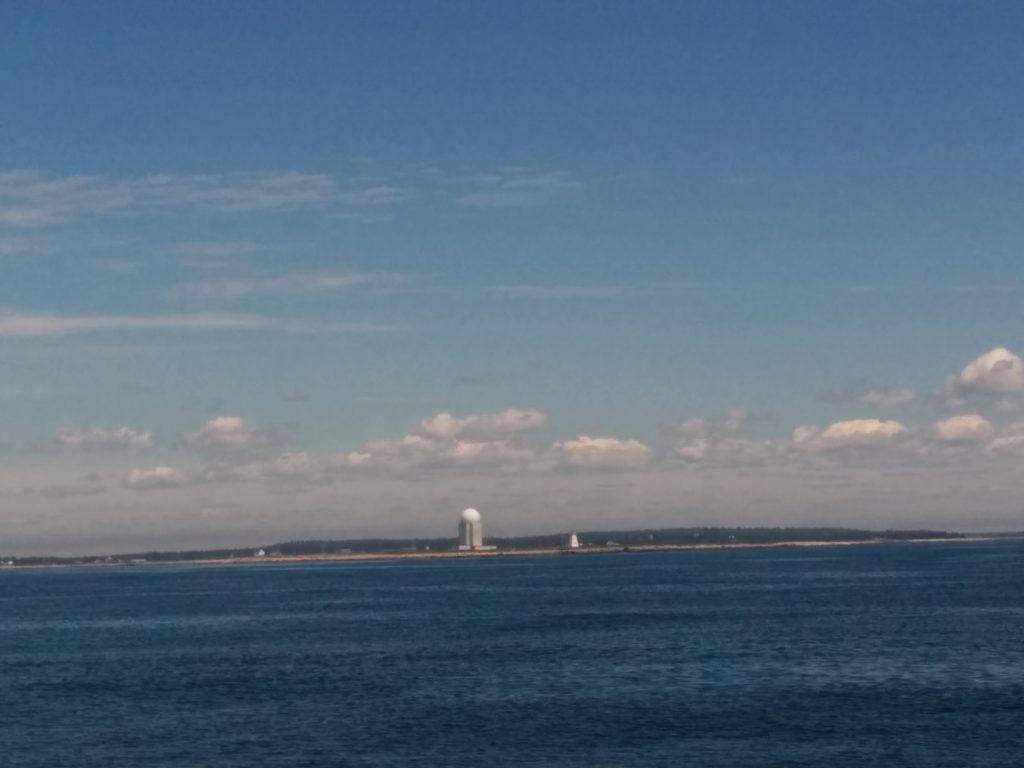
Neither us nor the other skipper had ever been to Liverpool. The charts showed a commercial pier between a breakwater and some very shallow water. Communication with the Coast Guard became difficult as we approached the harbor, possibly due to some local interference. The phone numbers we had for the local boat club and for a local diesel mechanic both went unanswered. We’d have to figure it out when we got in.

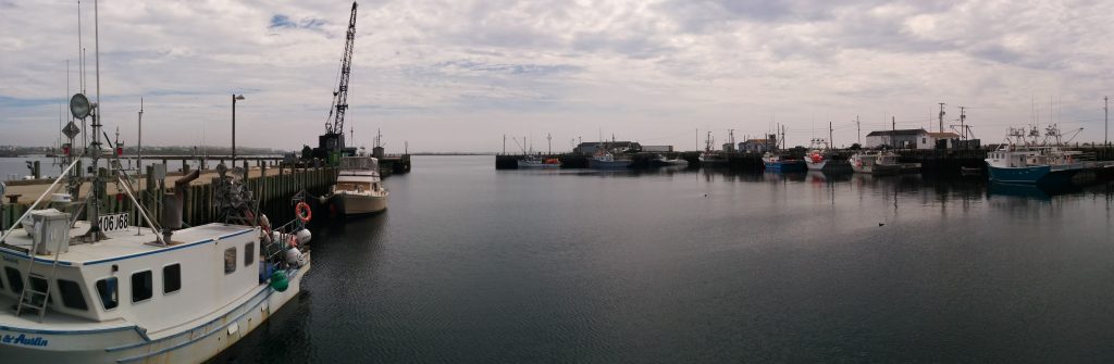
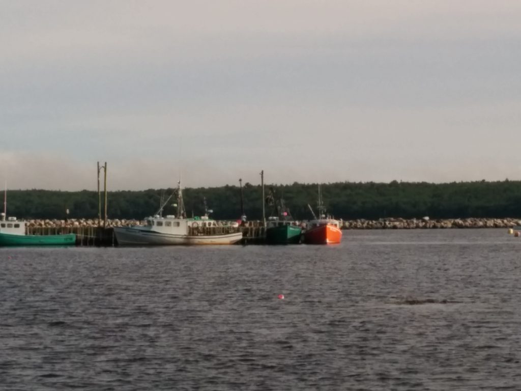
There was another lobster boat on the face of the pier which we agreed would be the best place to try to land. I had to slingshot him in on a shortened tow line, and we recruited a guy fishing off the pier to help handle lines. The other skipper even managed to get his engine running for a few moments to help with the final approach.

Another successful Coast Guard case handled by Cygnus!
Miss Caitlin at the pier

If I were in the Canadian Coast Guard Auxiliary I’d have earned two hours pay, plus had my fuel and all consumables reimbursed. They also pay for uniforms. And, they were happy to let us take this case. The US Coast Guard could learn something from their Canadian counterparts.

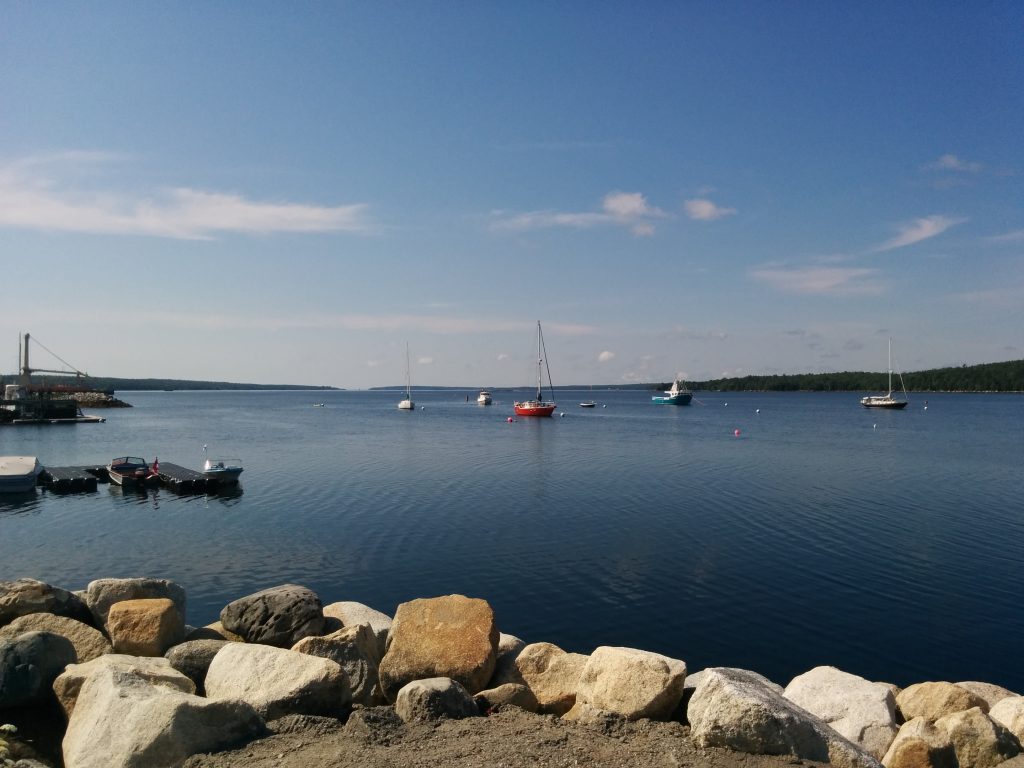
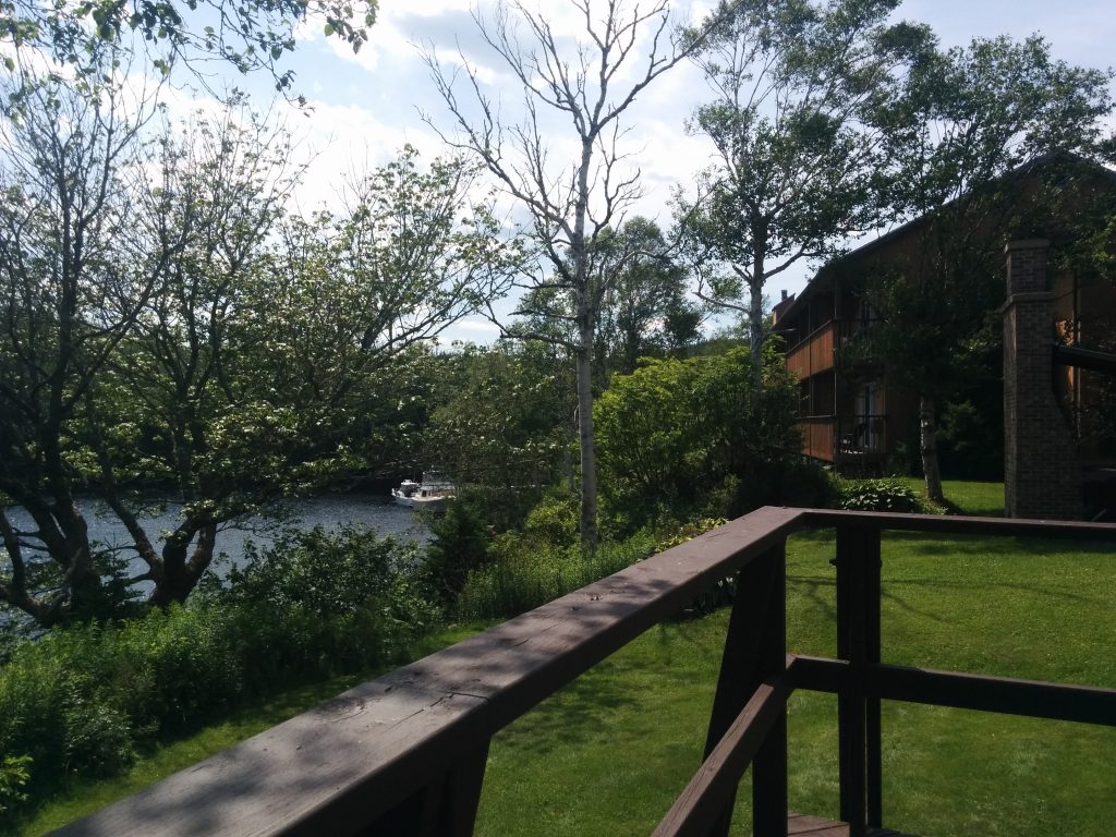
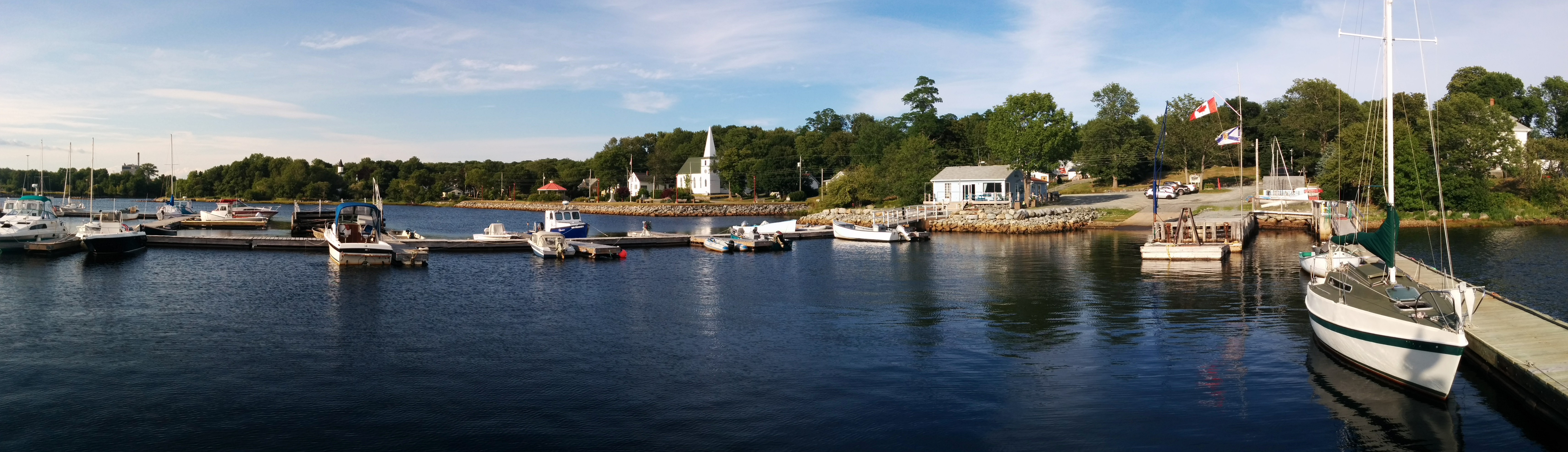
We continued upriver to the local marina, which is run by a small boat club. The clubhouse is unlocked, payment is on the honor system, and there’s Wi-Fi, power and water available.
Brooklyn Marina

  • Miles traveled: 1780
  • Engine Hours: 254.9

Halifax, Day 2

Wednesday, July 27th

The fog started to lift around 10 AM local time, and the wharves started filling up with people. There’s a Busker Festival here on the waterfront starting today. And yes, we had to look up what a “Busker” was, too. Apparently they’re street performers.

We’re at Bishop’s Landing Wharf, the first one upriver from the cruise ship terminal. In between that terminal and our dock are now two more mega-yachts, in addition to the three or four that were here already. In the background of this picture, the yacht on the outside is named Wheels, a 164-footer.
Bishop's Wharf

That white boat in the foreground is “Wheels II”, their tender. It has four, 400-HP outboards.

You can also see the lightpoles on the wharf. Here’s a closer look:
Light Posts
I guess this is what happens when you outsource your lighting installations to the lowest bidder. Or maybe it’s the heat. Then again, this IS a big party town. Maybe these lightpoles just had a rough night.

On the wharves farther North, the crowds get even thicker and there’s a carnival atmosphere, with vendors and booths of every kind lining the boardwalk and throughout every park and open area along the way.
Busker Festival
Busker Festival

Not all the action is North of here. Just steps off the dock we found Chalkmaster Dave, a 3-D Street Artist:
3-D Sidwalk Art

From another angle, it’s just random lines:
3D Street Art

We’re going to miss Halifax. We’re hoping to anchor out tomorrow night, and as usual, we’re not sure we’ll have cell service. It’s almost certain there’ll be no Wi-Fi. There aren’t many big cities left between here and home, and Maine is nowhere near as wired as Canada has proven to be, so this may be the norm for a while.

Halifax

Tuesday, July 26th

Today’s milestone was reaching Halifax, the (almost) half-way point of Atlantic Nova Scotia.

The sea conditions remain unchanged. No huge waves, just confused, lumpy and generally unpleasant chop that tosses us around like a cork on the water. We also had fog. Visibility was 100 yards for much of the day. And frequent rain showers. All in all, about what we’ve come to expect from this coast.

The fog started to lift as we approached Halifax, and we got our first glimpse of the skyline, and for that matter, the sky, a few miles out.
First Sight of Halifax

We were told our dock for the night was just past George’s Island. As we got closer, we noticed another boat already tied up in that area, at the next wharf downriver (far right, in this picture.)
Halifax Waterfront

Who is this new neighbor?
QM2

There’s really only one boat afloat with that profile.
QM2 Bow

It’s nice to see the QM2 again. I might stroll down to the next wharf later and see if the captain wants to chat with his new dock mates.

And if not, Halifax is still a great place to walk around after being on what I’ve taken to calling “The Desolation Coast” for so long. We’re tied up just a few feet from a busy waterfront park, hundreds of people walking by. After where we’ve been, it’s a treat to see civilization.

Our original plans of making this a one-night stop are out the window. The weather forecast looks reasonable for the next several days, so we’re not seeing the need to rush out of here just yet. We’ve tentatively reserved here for two nights.

Update, 6:00 PM Atlantic Daylight Time:
Well, the captain couldn’t hang around and chat. He had to turn his ship around and head back to Northampton, England. He has to be there by August 1st. I’ve always said, the worst thing you can have on a boat… is a schedule. We waved from the dock. I’m pretty sure I saw him stick his head out the bridge wing door and wave back.
QM2 and Cygnus

  • Miles traveled: 1708
  • Engine Hours: 244.0

Owl’s Head, NS

Monday, July 25th

We got back underway today, putting in 51 miles to Owl’s Head Bay. Some of that was the long trip down from Liscombe Lodge, and more in-and-out trying out a poor anchorage on Wolfe’s Island outside Ship’s Harbor.

The coast was a little less desolate today. We saw four other boats offshore, one close enough to exchange a hearty wave. And we saw dozens of harbor porpoises and seals in a feeding frenzy.

The seas were calmer than previous days, but the coastline here is very irregular, with fingers of land reaching way out to sea, and isolated islands, ledges, rocks and lumps everywhere. All this structure breaks up the steady, gentle swells into chaotic wave patterns that toss us unpredictably in different directions. We found smoother traveling farther from land, but of course that adds miles to our route.

Another pattern is the prevailing Southwest winds becoming stiff around mid-day, whipping up more chop on top of whatever waves were already present.

We’ve found the best option is to leave early and arrive around noon or 1 PM. I can’t say we’re enjoying this schedule, but we’re making progress. We actually decided to press on past our first-choice anchorage, Shelter Island, as conditions were improving.

Our second choice turned out to be nothing like the reviews. Wolfe’s Island has a small cleft in it with a pretty little cove at the head of it. However, the charts show a “zero-depth” contour just inside the mouth of the cove. At the supposed anchorage location, the rocks on either side are 100 feet apart, and the bottom is loose sand and weeds, which offers very poor holding for any anchor.
Wolfe's Island

Fortunately, our third choice seems adequate. We’re rolling a little from the ocean swells, but the anchor seems to be holding fast and the scenery here is nice, with bald eagles and osprey soaring overhead.
Owl's Cove
Owl's Cove

From here, given good weather, we’re within striking distance of Halifax. After four nights at “the lodge” we’re not really in need of rest, relaxation or provisioning, so we’re thinking of skipping the downtown locations and making it a one-night stop outside the city.

  • Miles traveled: 1666
  • Engine Hours: 237.0

Last Night at Liscombe (we hope!)

The other boats all left today. They’re on a schedule. We’re waiting here at Liscombe Lodge one more night for the seas to subside, and for a front that went by this afternoon, bringing some thunderstorms with it. Tomorrow looks better, and in fact a slightly better weather pattern seems to be taking hold for the next few days.

We’ve enjoyed our stay here. It’s quite a facility. Here’s a shot of one of the lodge buildings, from the deck outside the lounge.
Lounge Deck

Outside the dining room are lots of bird feeders which draw a number of different finches, hummingbirds and several other species.
Finches

Although we didn’t see inside the rooms, the lodge buildings all appear very comfortable.
Lodge Building

We topped off our fuel and water tanks, ran one last load of laundry and figured we’d stop by the lounge for some potato skins or something light for dinner. Then we saw it.
Dessert Buffet

That’s right, a buffet. Prime rib, planked salmon, seafood chowder, salads, vegetables, and some amazing home-made desserts. Who could resist?

Sherbrooke Village

Saturday, July 23rd

The weather remains the same, as does our location. Even here upriver, we get bouts of fog, occasional rain and even gusty winds. Chester the dockmaster, who has a lot of experience cruising this coast and lives near the ocean, only half-jokingly forbade us from leaving before Monday. The rest of the boats are still here, despite their own hopes for an earlier departure. Another sailboat anchored farther downstream and dinghied up here for a visit and to use the facilities.

With the use of Chester’s car we were able to get some shopping done in Sherbrooke, about 17 miles away. This is the site of old Sherbrooke Village, a living history village along the lines of Old Sturbridge Village in Massachusetts. We’d actually been here before, by car, on a family vacation.
Old Sturbridge Village

Since we didn’t want to monopolize the car, we skipped the main part of the village, but at Chester’s suggestion, we visited the sawmill and stamp mill.
Sherbrooke Village Sawmill

Sherbrooke Village Sawmill

This included a short path through the forest, with lots of local plant species identified, along with a stop at a re-created lumberman’s camp and a quiet lake.
Sawmill Stream

The forest here (I can’t call it “woods”) is absolutely impenetrable. It looks like mostly new coniferous growth but it gives some idea of what the natives and first European settlers must have seen. Taking the interpretive path, it was amazing to see how many different species, some I’d never seen and many I never even heard of, grow here. There must have been 15 or 20 species of berry alone, most of which would be edible.